About
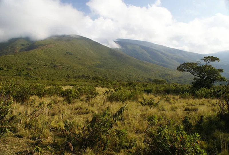
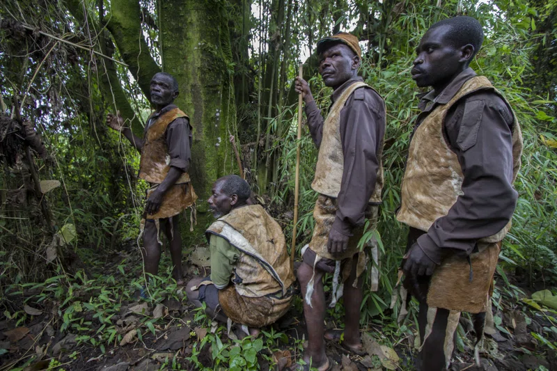
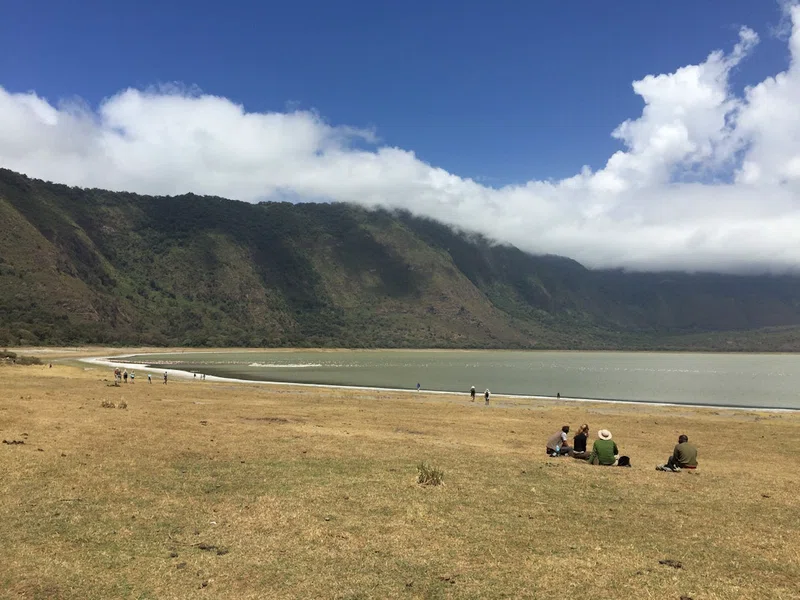
The Ngorongoro Conservation Area is a protected area and a World Heritage Site located 180 km (110 mi) west of Arusha in the Crater Highlands area of Tanzania. The area is named after Ngorongoro Crater, a large volcanic caldera within the area. The conservation area is administered by the Ngorongoro Conservation Area Authority, an arm of the Tanzanian government, and its boundaries follow the boundary of the Ngorongoro Division of the Arusha Region. The 2009 Ngorogoro Wildlife Conservation Act placed new restrictions on human settlement and subsistence farming in the Crater, displacing Maasai pastoralists, most of whom had been relocated to Ngorongoro from their ancestral lands to the north when the British colonial government established Serengeti National Park in 1959. == History and geography == The name of the crater has an onomatopoeic origin; it was named by the Maasai pastoralists after the sound produced by the cowbell (ngoro ngoro). Based on fossil evidence found at the Olduvai Gorge, various hominid species have occupied the area for 3 million years. Hunter-gatherers were replaced by pastoralists a few thousand years ago. The Mbulu came to the area about 2,000 years ago and were joined by the Datooga around the year 1700. Both groups were driven from the area by the Maasai in the 1800s.Massive fig trees in the northwest of the Lerai Forest are sacred to the Maasai and the Datooga. Some of them may have been planted on the grave of a Datago leader who died in battle with the Maasai around 1840.No Europeans are known to have set foot in the Ngorongoro Crater until 1892, when it was visited by Oscar Baumann. SOURCESWikipedia
Safari Tours
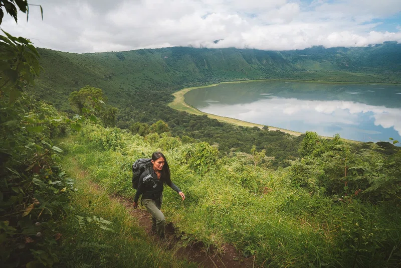
10-Day Tanzanian Safari with Biking & Walking
6-Day | National Parks & Hiking Ngorongoro -Lake Natron