
About
Augrabies Falls National Park is a national park located around the Augrabies Falls, about 120 km west of Upington in the Northern Cape Province, South Africa. It was established in 1966.The Augrabies Falls National Park covers an area of 820 km² and stretches along the Orange River. The area is very arid. The waterfall is about 60 metres high and is awe-inspiring when the river is in flood. The gorge below the falls averages about 240 m deep and runs for 18 kilometres. The gorge provides an impressive example of erosion into a granitic basement. == Original Inhabitants == The original Khoikhoi people named the waterfall Ankoerebis, meaning the "place of big noises". The Khoi and San communities within the greater national park inhabit domed huts called ‘matjiehuise’ (mat houses). The huts are ideal for both hot and cold climates. During hot temperatures the tree stems from which the mats are created shrink, which allows gaps to appear – creating a cooling ventilation system. SOURCESWikipedia
Wildlife & Birds
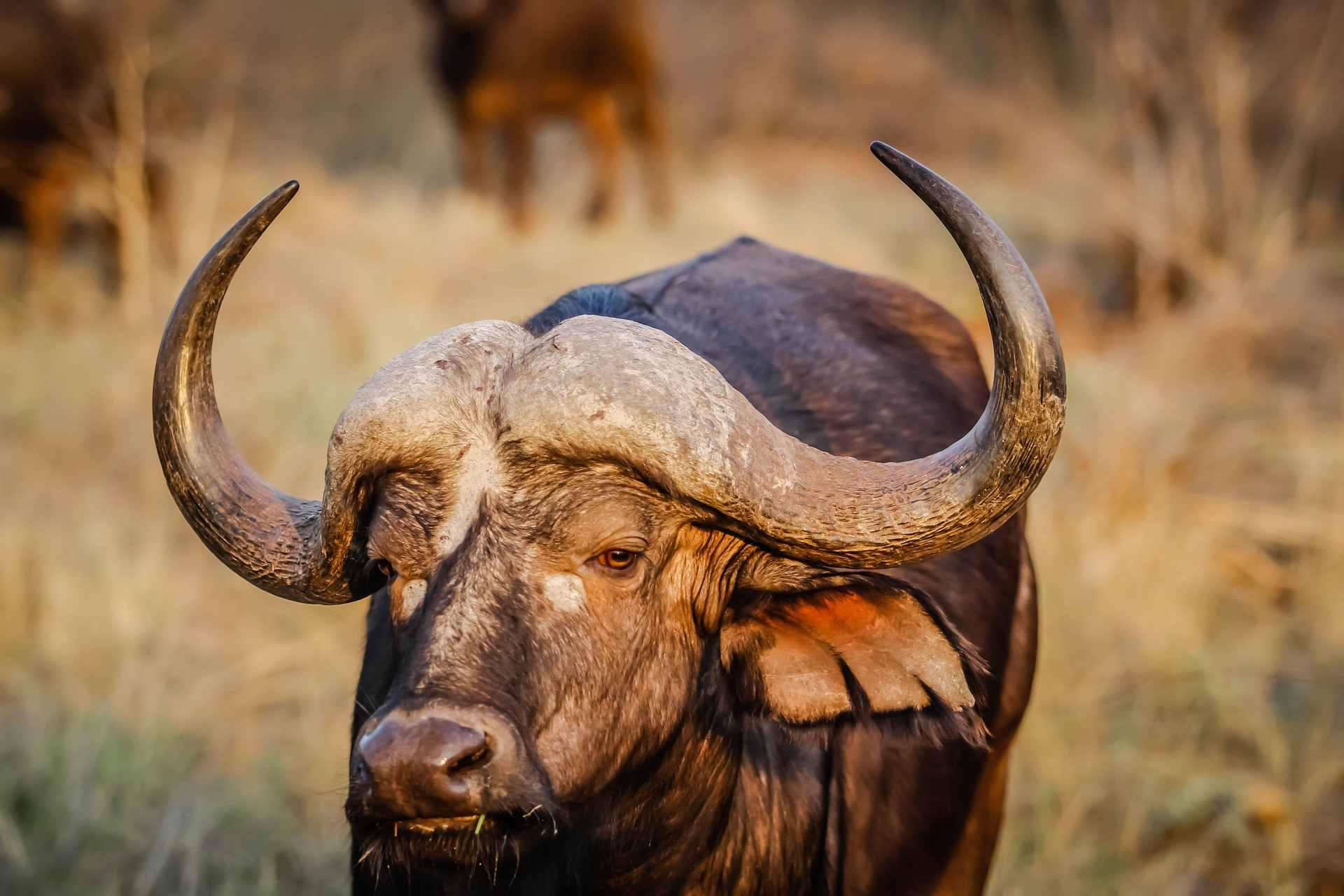
Buffalo
0
Cheetah
0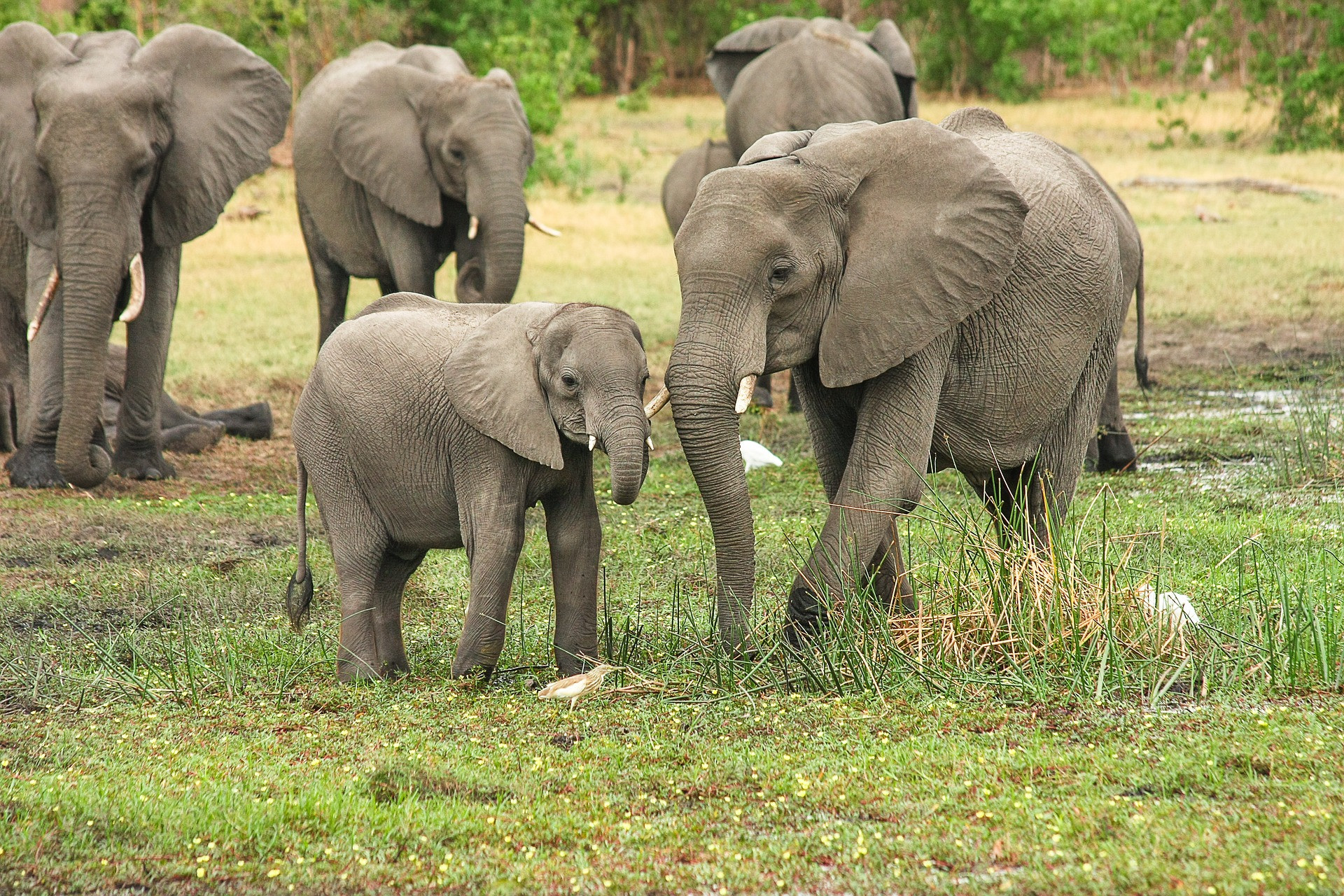
Elephant
0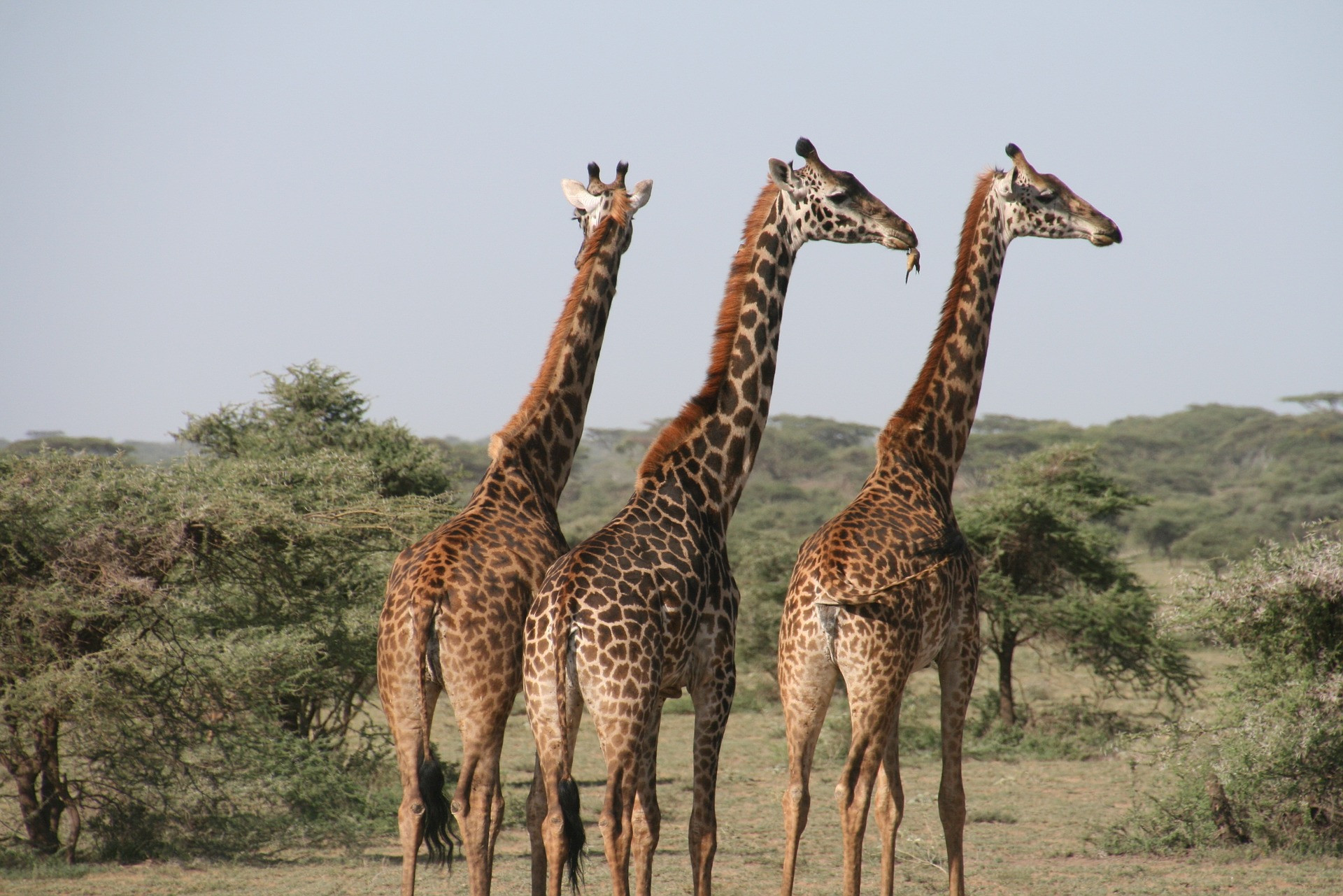
Giraffe
3
Hippo
0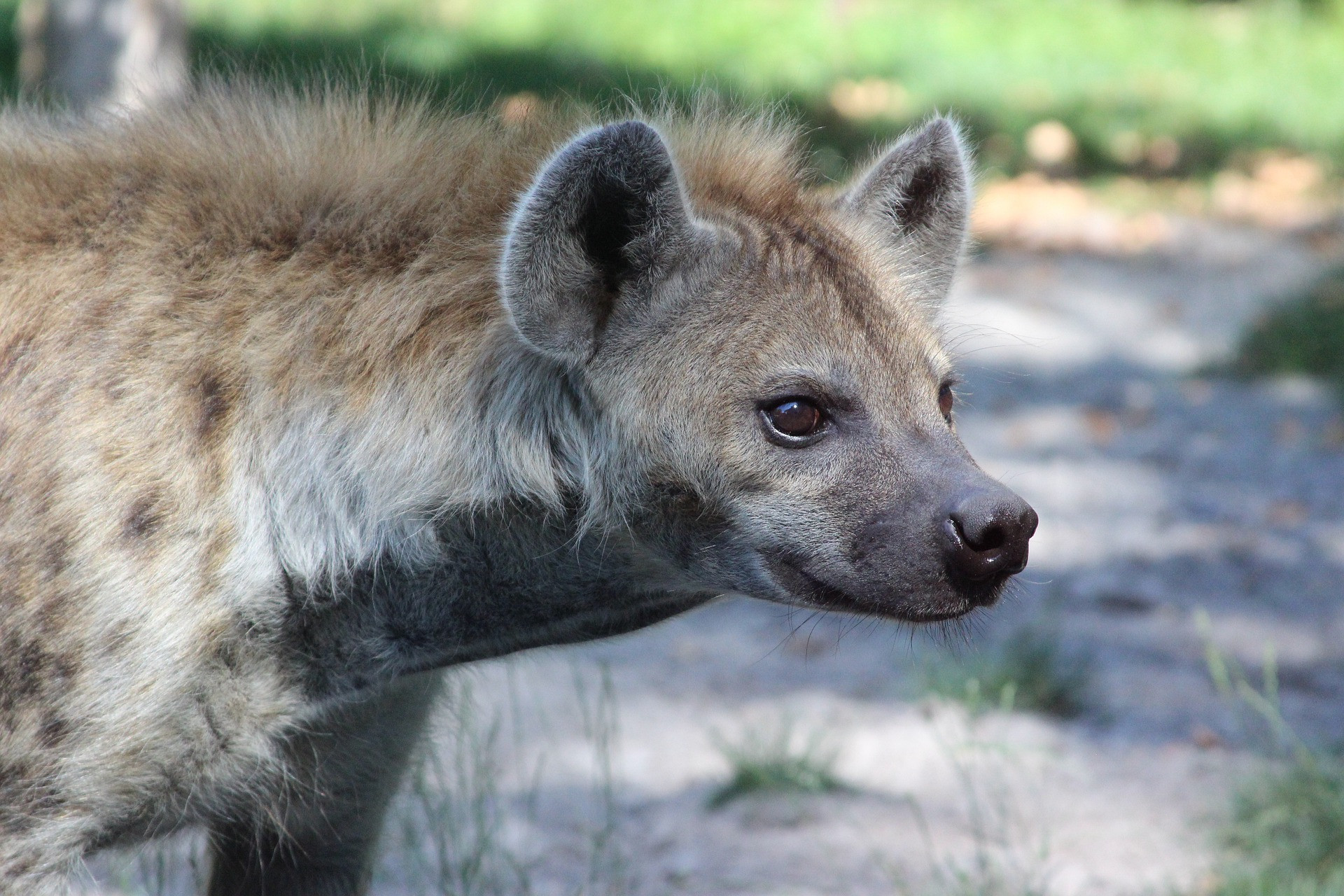
Hyena
0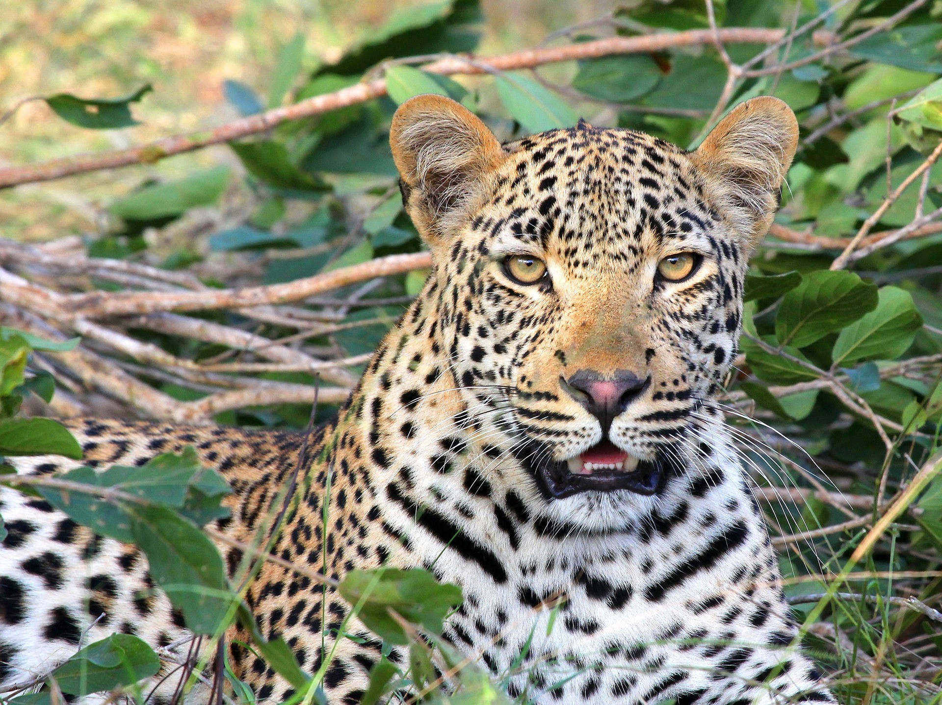
Leopard
1
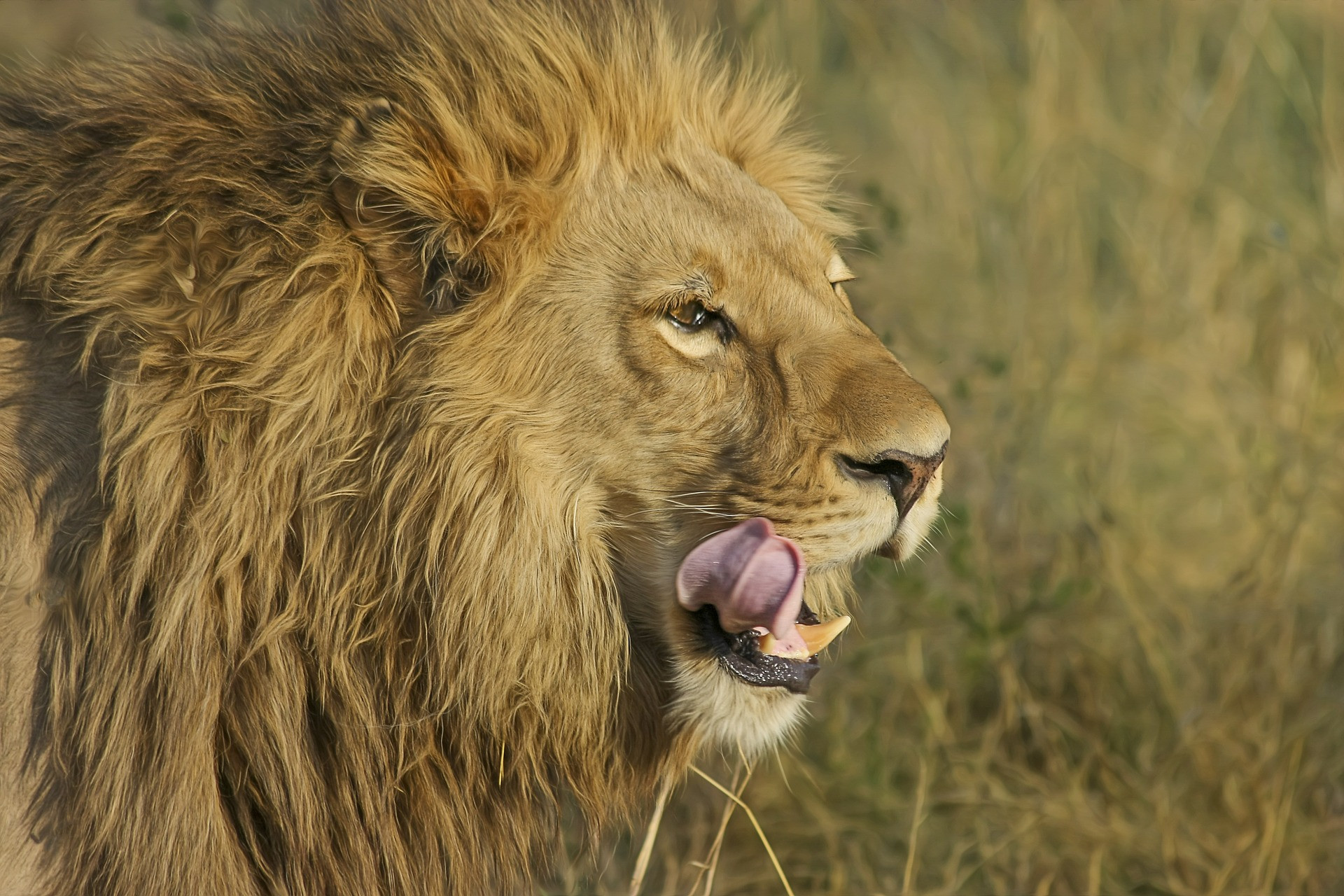
Lion
0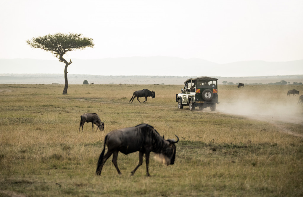
Wildebeest
0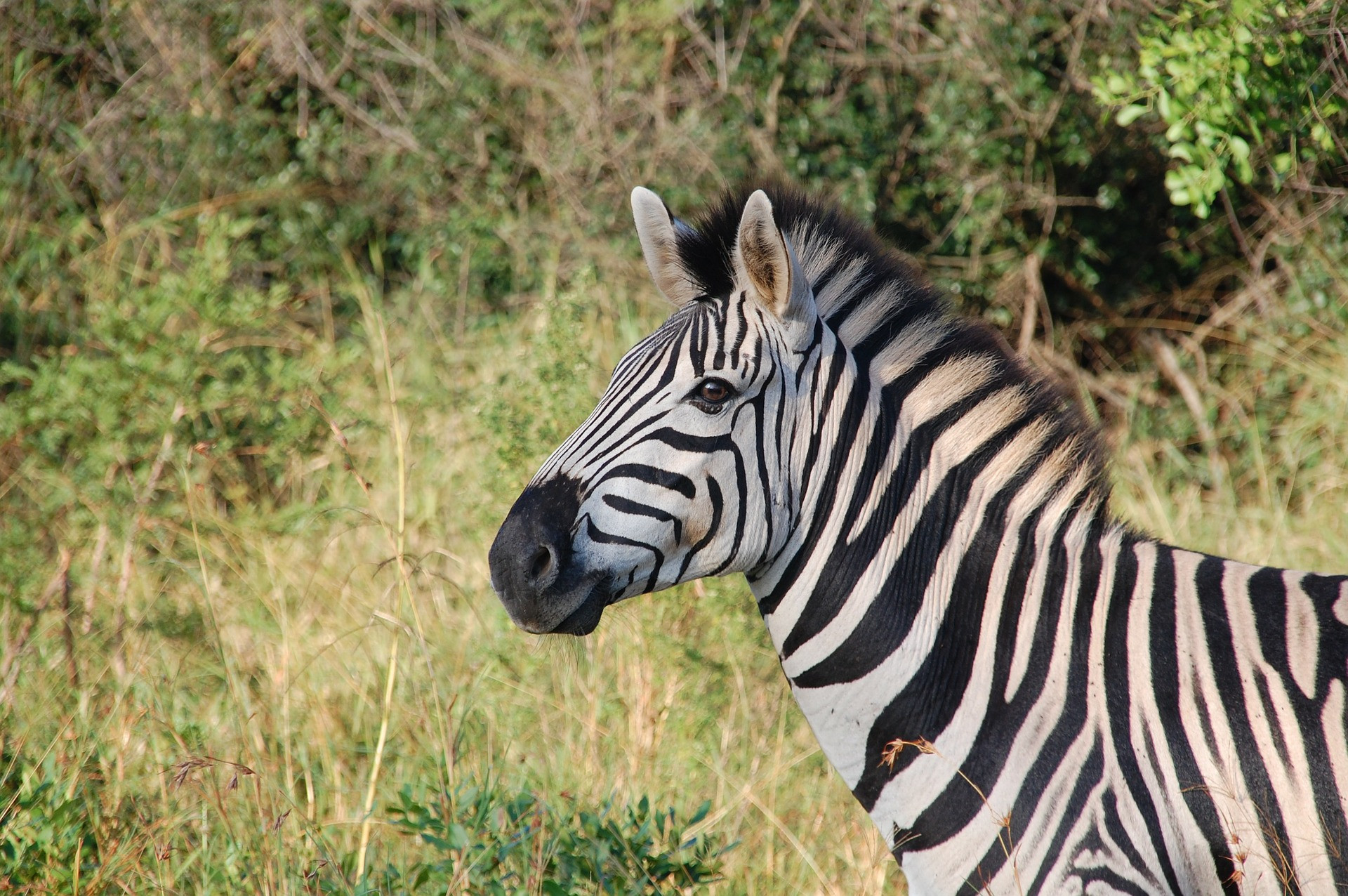
Zebra
0