About
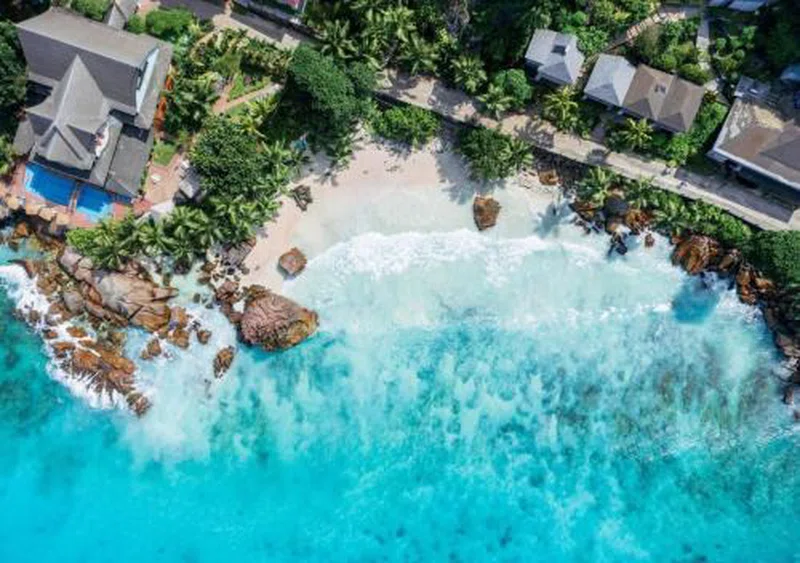
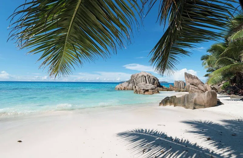
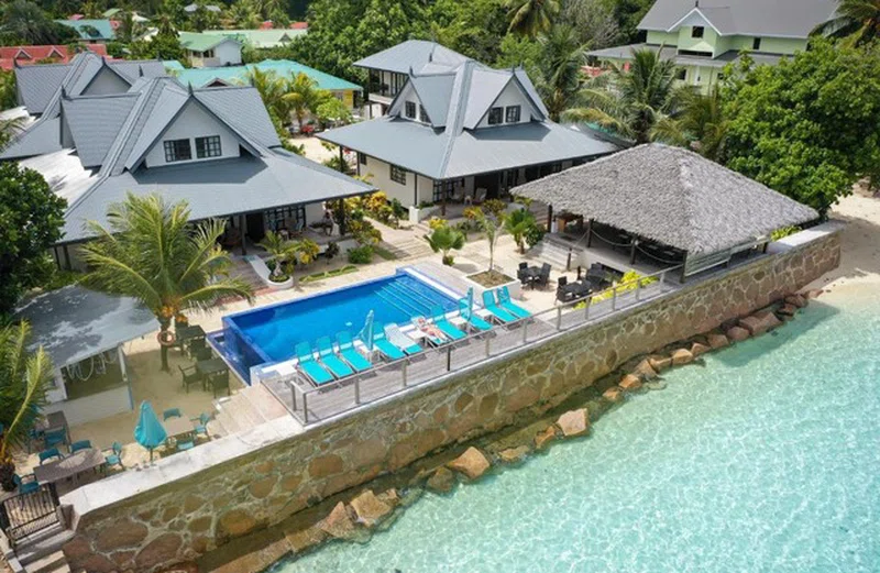
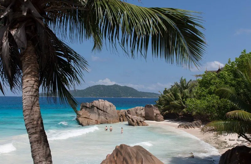
La Digue is the third most populated island of the Seychelles, and fifth largest by land area, lying east of Praslin and west of Felicite Island. In terms of size it is the fourth largest granitic island of Seychelles after Mahé, Praslin and Silhouette Island. It has a population of 2,800 people, who mostly live in the west coast villages of La Passe (linked by ferry to Praslin and Mahé) and La Réunion. There is no airport on La Digue, so to get there from a foreign country, one has to fly to Victoria and continue by ferry, usually via Praslin. It has an area of 10.08 km2, which makes it relatively easy to travel around by bike or on foot. La Digue was named after a ship in the fleet of French explorer Marc-Joseph Marion du Fresne, who visited the Seychelles in 1768. == History == According to modern historians, La Digue was first sighted by the French navigator Lazare Picault in 1742, but it was not named until 1768. The first people settled on the island in 1789, when French colonists arrived with their African slaves. Most of them went back to France, but some people were left and some of today's inhabitants carry their names. Later, more French deportees arrived, followed by a large number of liberated slaves and Asian immigrants. SOURCESWikipedia