
About
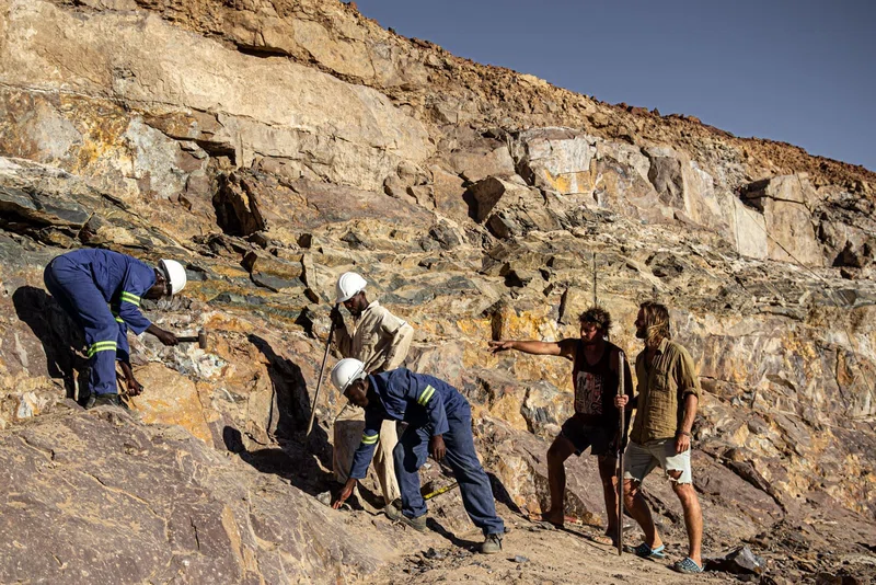
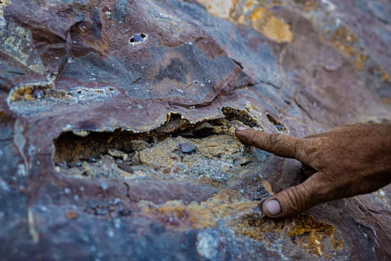
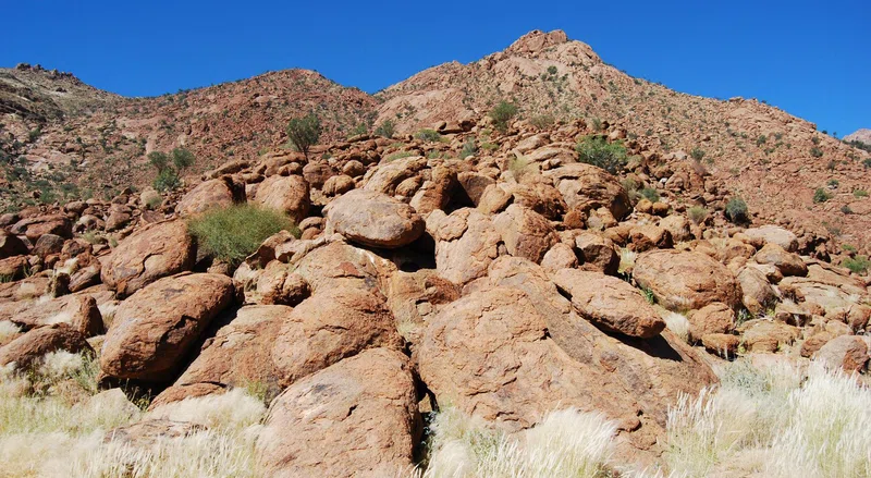
The Brandberg (Damara: Dâures; Otjiherero: Omukuruvaro) is Namibia's highest mountain. == Location and extent == Brandberg Mountain is located in former Damaraland, now Erongo, in the northwestern Namib Desert, near the coast, and covers an area of approximately 650 km². With its highest point, the Königstein (German for 'King's Stone'), standing at 2,573 m (8,442 ft) above sea level and located on the flat Namib gravel plains, on a clear day 'The Brandberg' can be seen from a great distance. There are various routes to the summit, the easiest (also steepest) being up the Ga'aseb river valley, but other routes include the Hungurob and Tsisab river valleys. The nearest settlement is Uis, roughly 30 km from the mountain. The core area of 450 square kilometres (170 sq mi) was declared a National Monument in 1951. == Origin of name == The name Brandberg is Afrikaans, Dutch and German for Burning Mountain, which comes from its glowing color which is sometimes seen in the setting sun. The Damara name for the mountain is Dâures, which means 'burning mountain', while the Herero name, Omukuruvaro means 'mountain of the Gods'. == Geology == The Brandberg Massif or Brandberg Intrusion is a granitic intrusion, which forms a dome-shaped massif. It originated during Early Cretaceous rifting that led to the opening of the South Atlantic Ocean. SOURCESWikipedia