About
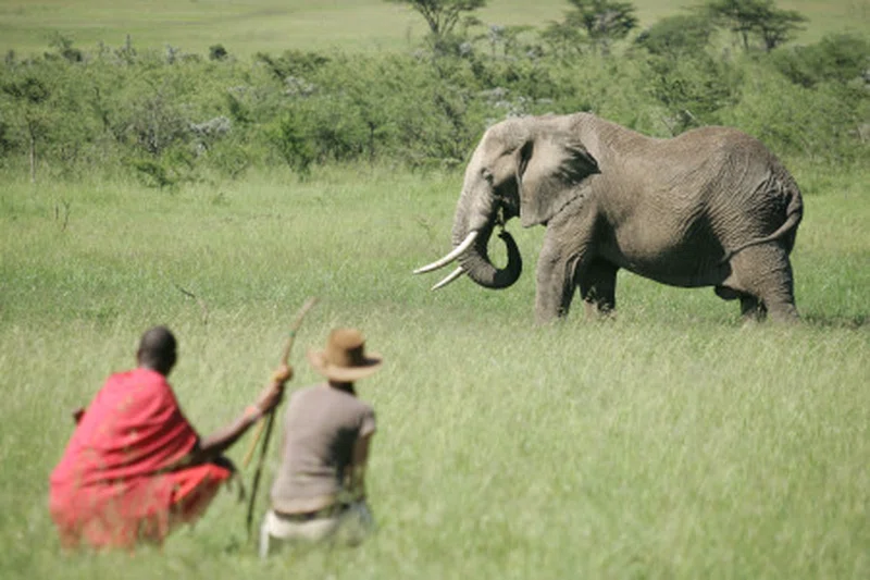
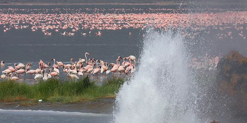
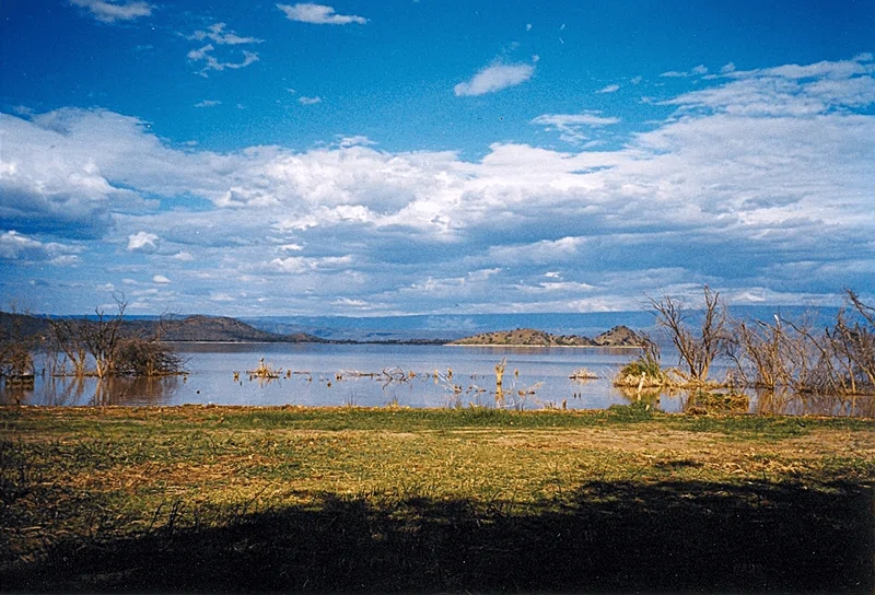
Lake Baringo is, after Lake Turkana, the most northern of the Kenyan Rift Valley lakes, with a surface area of 130 square kilometres (50 sq mi) and an elevation of 970 metres (3,180 ft). The lake is fed by several rivers, Molo, Perkerra and Ol Arabel, and has no obvious outlet; the waters are assumed to seep through lake sediments into the faulted volcanic bedrock. It is one of the two freshwater lakes in the Rift Valley in Kenya, the other being Lake Naivasha. In a remote location in a hot and dusty area with over 470 species of birds, occasionally including migrating flamingos. A Goliath heronry is located on a rocky islet in the lake known as Gibraltar. == Description == The lake is part of the East African Rift system. The Tugen Hills, an uplifted fault block of volcanic and metamorphic rocks, lies west of the lake. The Laikipia Escarpment lies to the east. Water flows into the lake from the Mau Hills and Tugen Hills. It is a critical habitat and refuge for more than 500 species of birds and fauna, some of the migratory waterbird species being significant regionally and globally. SOURCESWikipedia