About
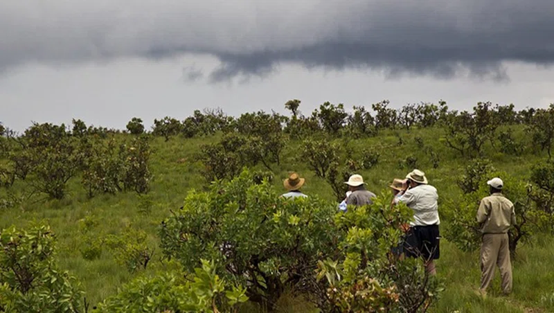
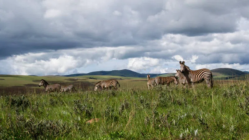
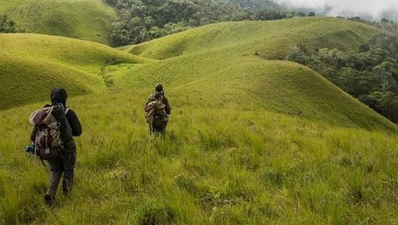
For the portion of the park in Zambia, see Nyika National Park, ZambiaNyika National Park is Malawi’s largest national park, with an area of 3200 km2 (1250 mile2). == Location and road access == The park covers practically the whole of the Nyika Plateau in northern Malawi, about 480 km north of Lilongwe and 60 km north of Rumphi by road. Access is by a single dirt road which branches north off the road from Rumphi to the Katumbi border post, and winds its way up the south-western scarp of the plateau, continues over the top, where it forms the border with Zambia, then descends the north-west scarp in a series of bends, and continues north to the Chisenga border post. On the top of the plateau, a spur goes east to Chelinda, the headquarters of the park nearer the centre. Although the park boundary comes within 35 km of Livingstonia there is no access from the eastern side. == Features == The name Nyika means "where the water comes from" as the plateau's elevation makes it wetter than surrounding areas. Other suggested meanings are "wilderness" and "short grassland". The top is frequently in cloud, both in the rainy season and in the cold dry season when dense fogs, called Chiperoni, may persist well into the morning and sometimes all day. The persistent moisture brings over 200 types of orchid into flower. The grasslands of Nyika are rich in wildflowers all through the year but especially from January to April during the rains. SOURCESWikipedia
Wildlife & Birds
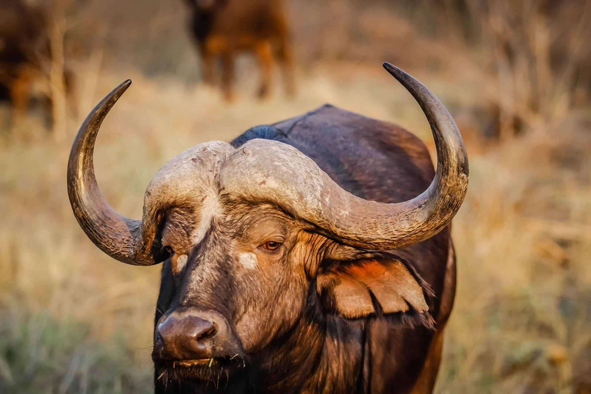
Buffalo
1
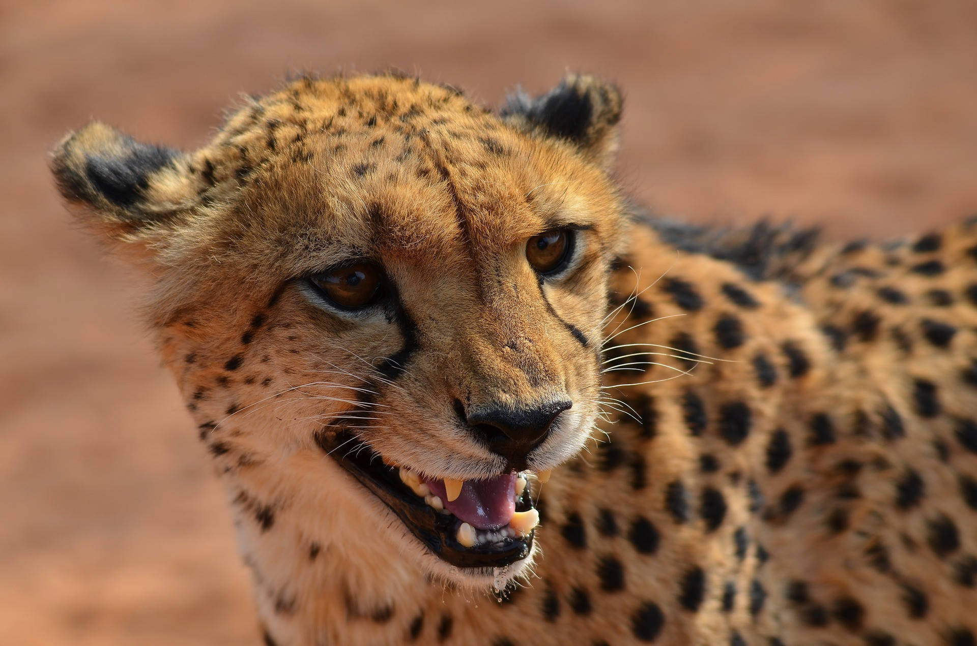
Cheetah
0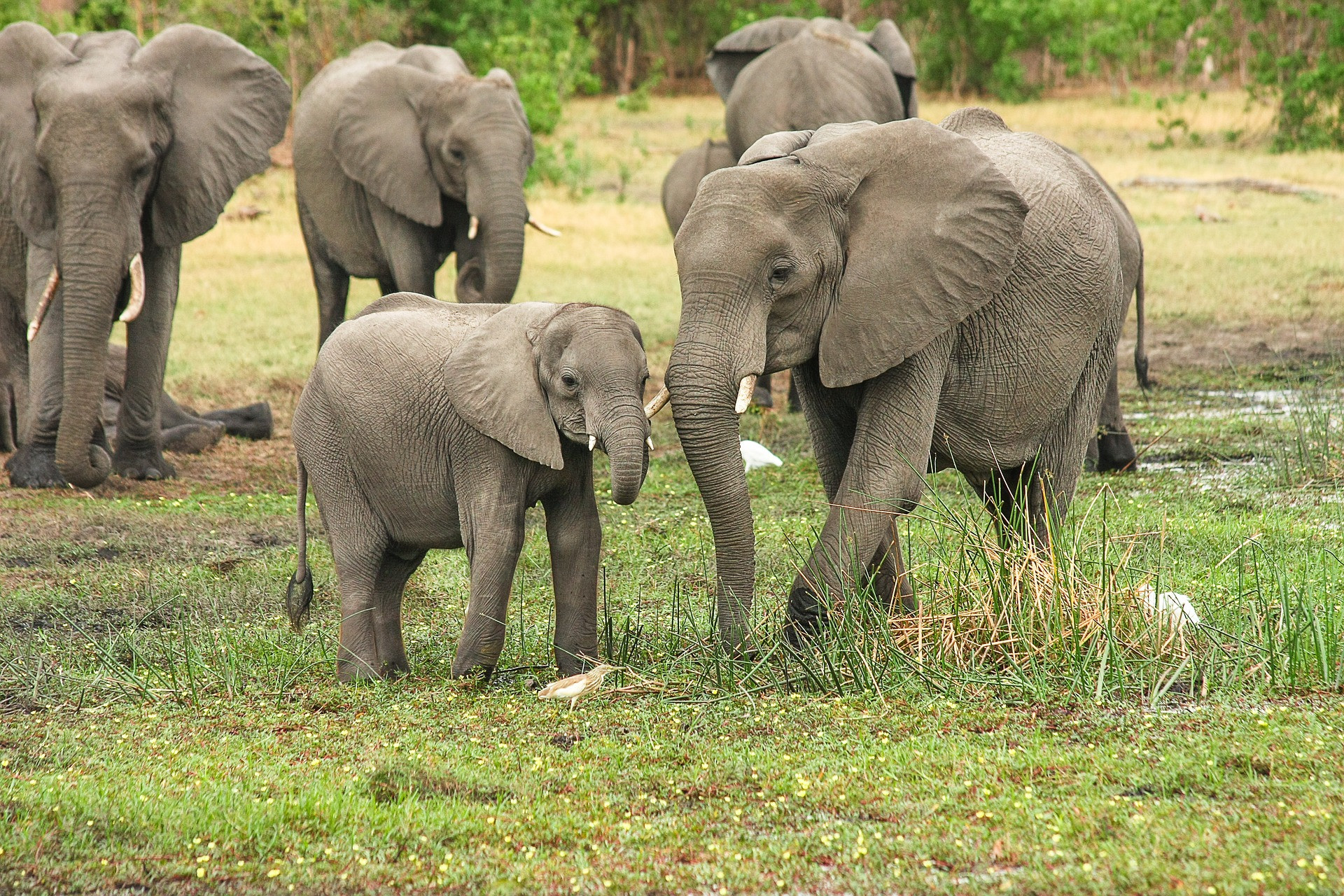
Elephant
0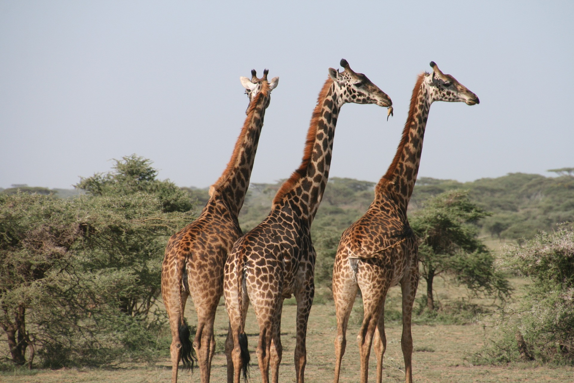
Giraffe
0Hippo
0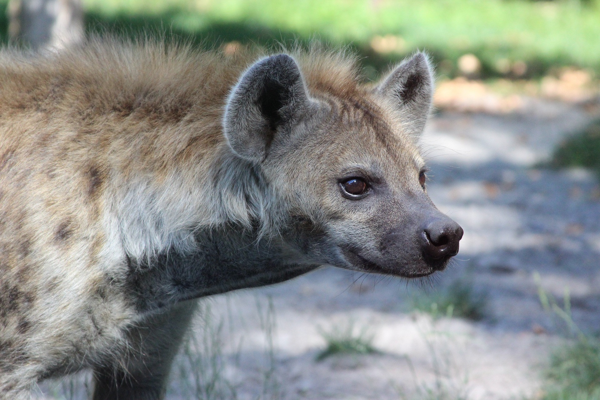
Hyena
0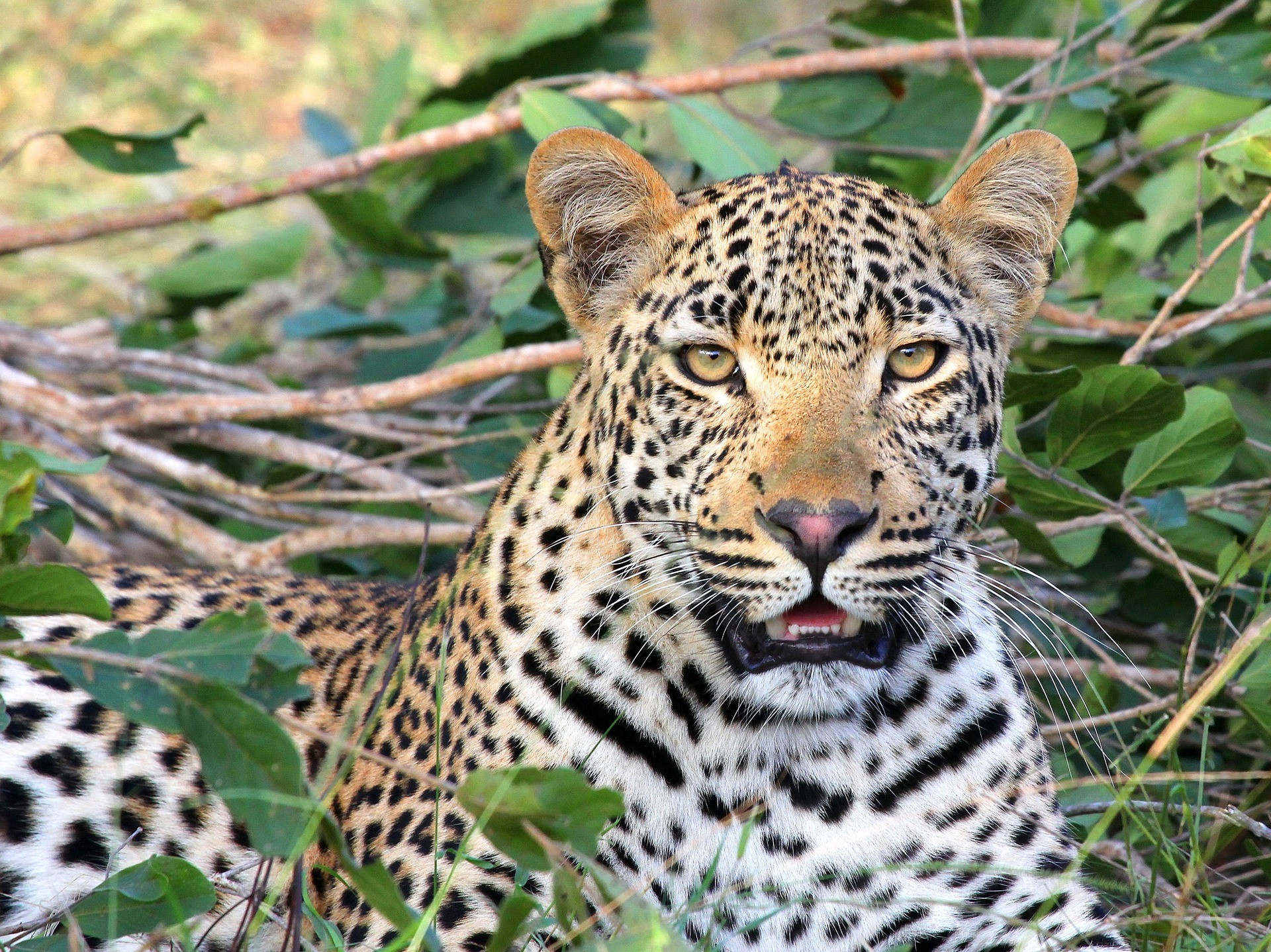
Leopard
0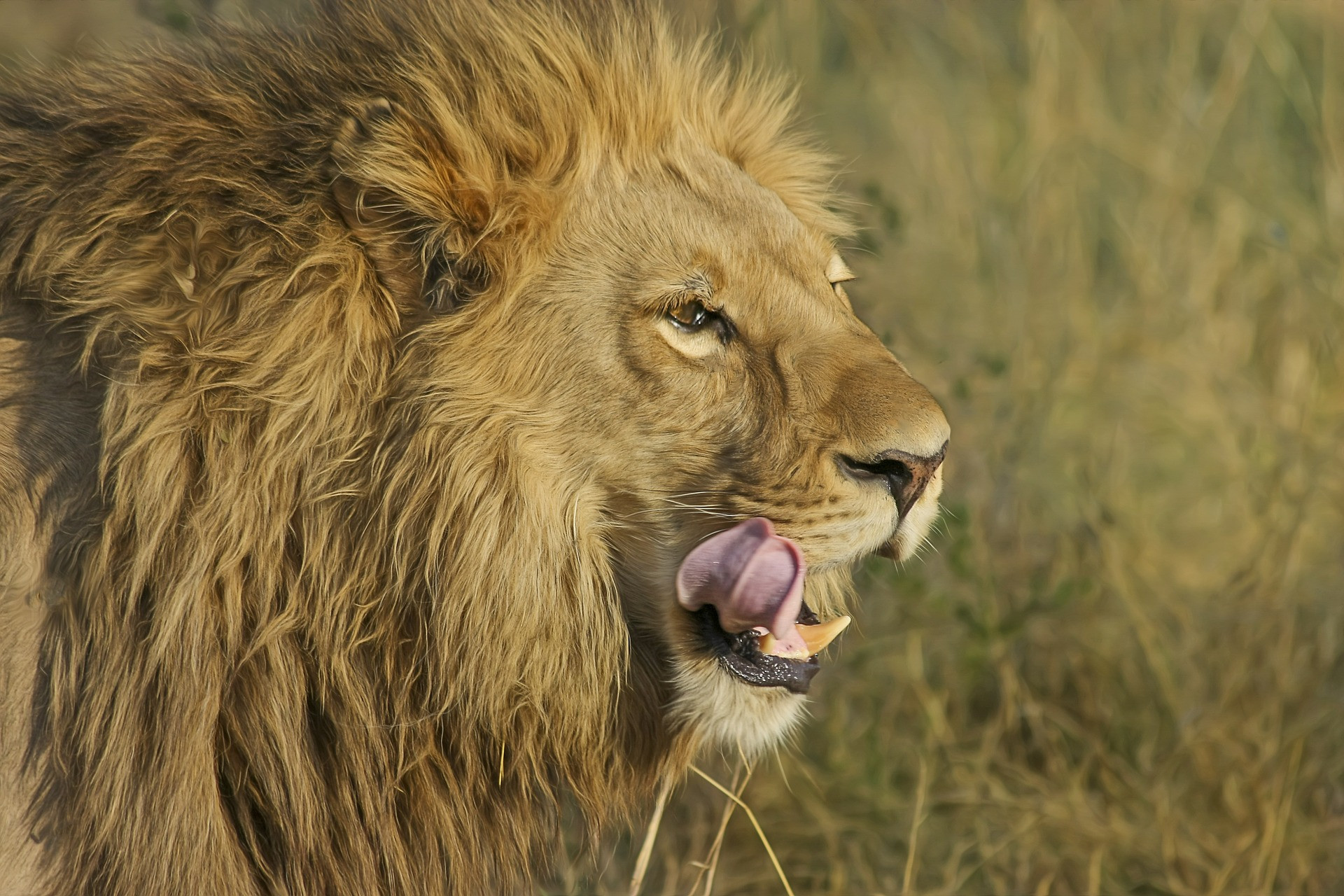
Lion
0Secretary-bird
3
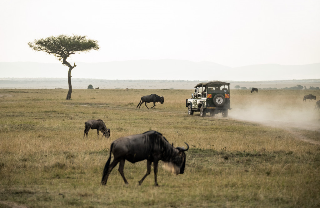
Wildebeest
0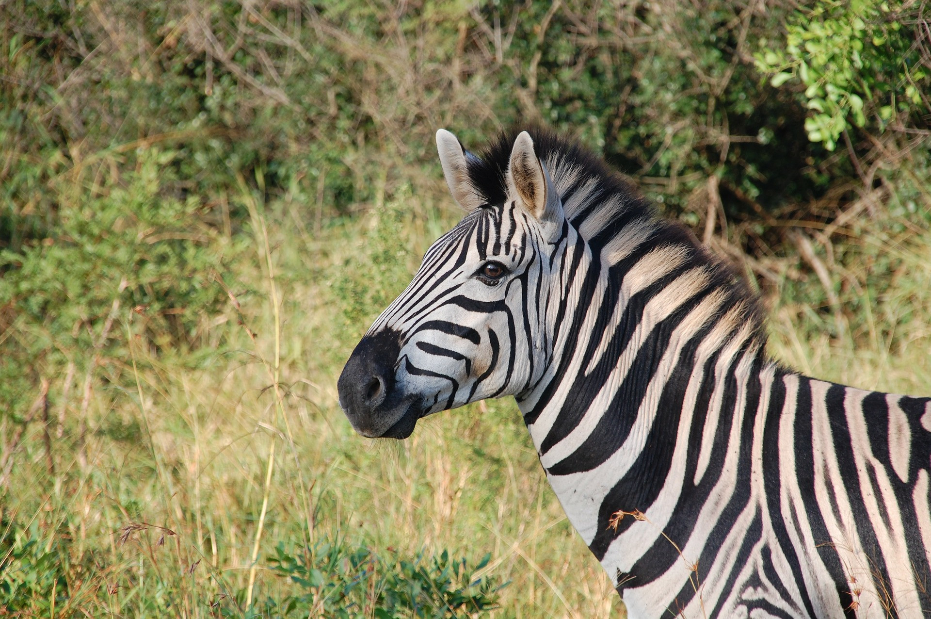
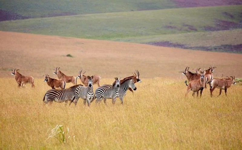
Zebra
3
Safari Tours
Malawi's Highlands and Islands on a Shoestring
Malawi's Highlands and Island in Luxury
10-Day Malawi Family Road Trip
10-Day Experiencing Malawi Natural Attractions
17-Day Malawi's South Central and North