About
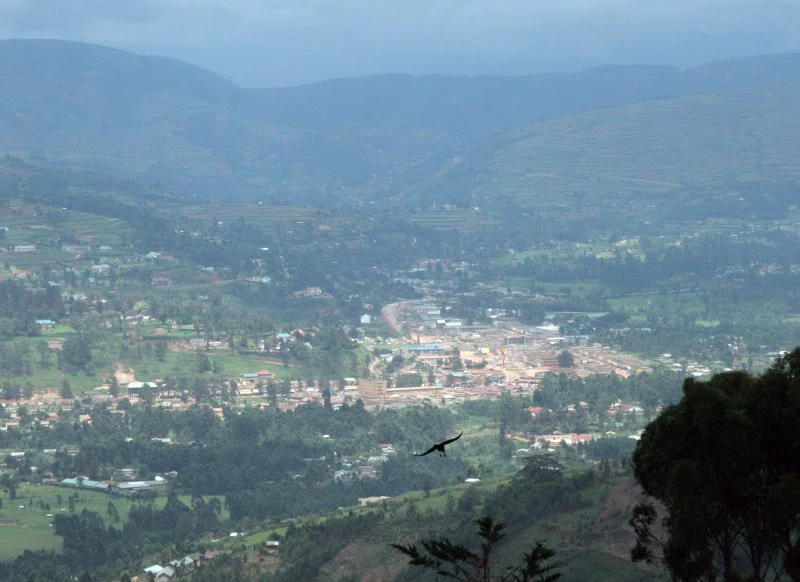
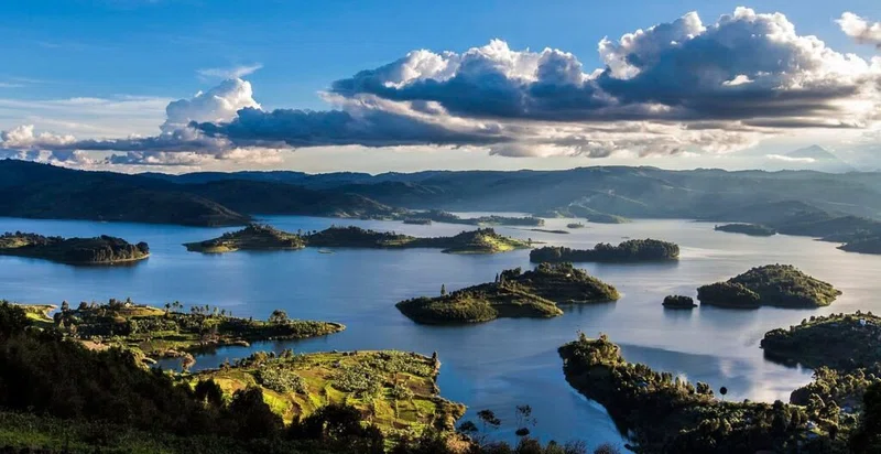
Kabale is a town in the Western Region of Uganda. It is the chief town of Kabale District, and the district headquarters are located there. Sometimes nicknamed “Kastone” as in the local language Rukiga, a “kabale” is a small stone. == Location == Kabale is located in the Kabale District of the Kigezi sub-region. It is approximately 420 kilometres (260 mi), by road, southwest of Kampala, Uganda's capital and largest city. The town lies 2,000 metres (6,600 ft) above sea level. The coordinates of Kabale are: 01 15 00S, 29 59 24E (Latitude:-1.2500; 29.9900). == Population == According to the 2002 national population census, Kabale municipality had approximately 41,350 inhabitants. The Uganda Bureau of Statistics (UBOS), estimated the population of the town at 44,200 in 2010. In 2011, UBOS estimated the mid-year population of Kabale at 44,600. SOURCESWikipedia
Safari Tours
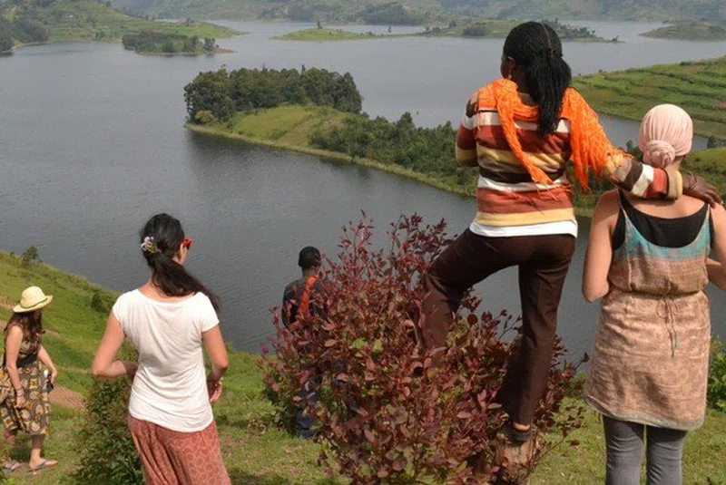
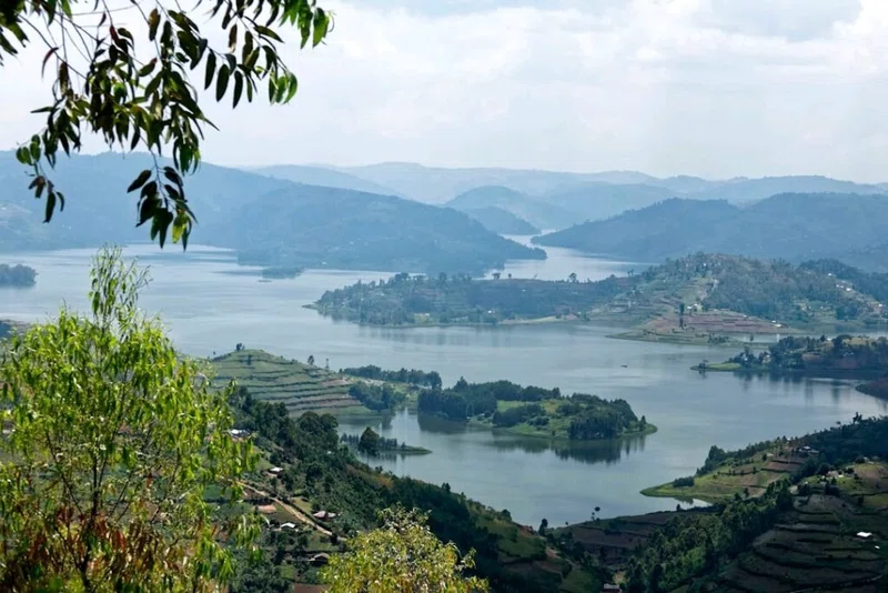
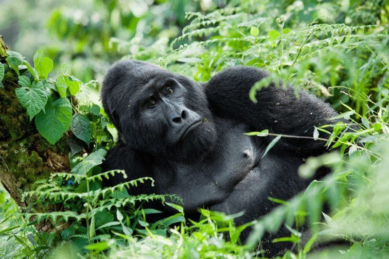
Gorilla and Chimpanzee Trekking with Game Drive