About
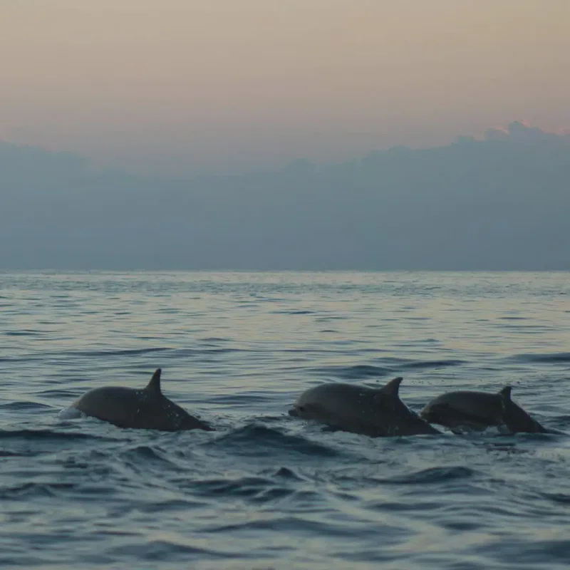
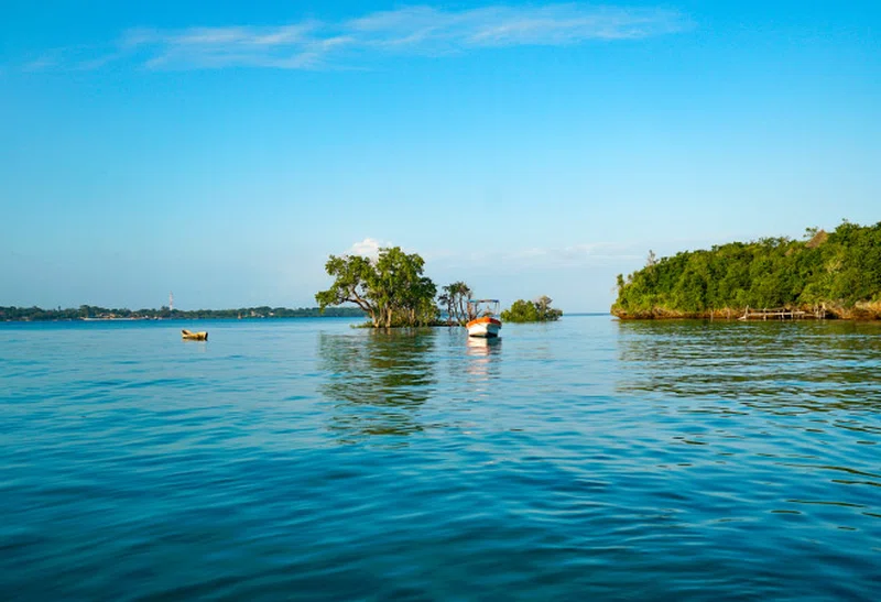
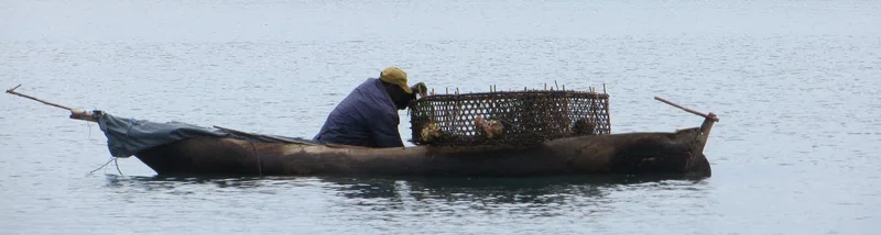
Wasini Island lies in southeast Kenya 3 kilometres (1.9 mi) off the coast of the Indian Ocean, 75 kilometres (47 mi) south of Mombasa, and 3 kilometres (1.9 mi) opposite the harbour of the village Shimoni. It is approximately 7 kilometres (4.3 mi) long and 3 kilometres (1.9 mi) across. the name "wasini mpunguti" came from the early inhabitants who originally were the Chinese they were short Chinese, hence the name wasini mpunguti which to the locals, means short Chinese. The island has only footpaths of sharp old coral or sand. There are no cars, carts or bicycles. Cargo is transported by foot or by a wheelbarrow with a solid tyre. Transport is over the paths, or via the beaches, mainly consisting of coral and only passable with low tide, or by boat over the sea. Before 1963, in the British colonial time, there was an airstrip in the lagoon situated longitudinal south on the island; only small parts of tarmac are reminders of this history. == Population, culture, language and religion == The island has a population of about 3.000 living at the north coast in the two villages Wasini and Mkwiro, respectively at the west and east side of the island, and inland in the hamlet Nyuma Maji, which means in Swahili 'behind the water'. In Wasini-village and Nyuma Maji live the Bantu people the Vumba, whose mother tongue is the Swahili dialect kivumba; in Mwkiro the Kifundi (Shirazi) have their own mother tongue, the Swahili dialect kikifundi. SOURCESWikipedia