About
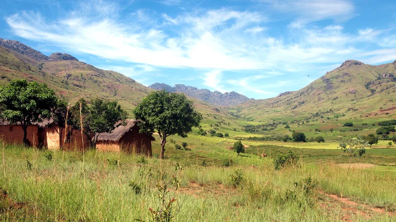
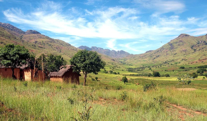
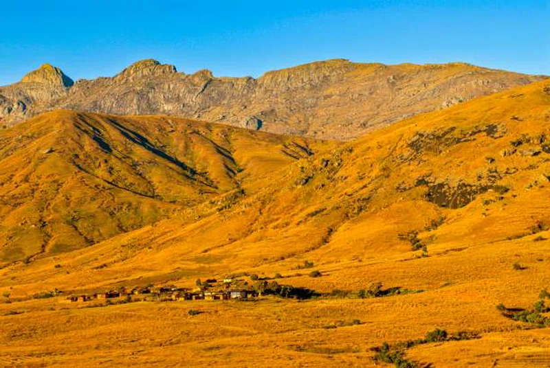
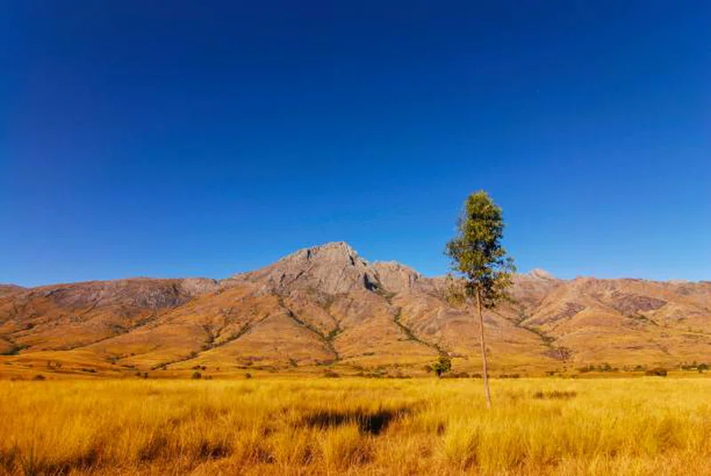
Andringitra National Park is a national park in the Haute Matsiatra region of Madagascar, 47 kilometres (29 mi) south of Ambalavao. The park was established in 1999 and is managed by the Madagascar National Parks Association. It was inscribed in the World Heritage Site in 2007 as part of the Rainforests of the Atsinanana. == History == The importance of the area was noted by explorers in the early 20th century and in 1927 the central part of the mountain range was declared a ″Strict Nature Reserve″. During the early 1990s the Malagasy Environmental Action Plan introduced the idea of Madagascar taking ownership of the environmental agenda, rather than donors, and in 1999 the area became a National Park. In 2007 the park became part of the Rainforests of the Atsinanana World Heritage Site. == Geography == The reserve covers 31,160 hectares (77,000 acres) covering much of the granite massif of the Andringitra mountains which rise above plains. The altitude of the reserve varies from 700 metres (2,300 ft) to the peak of the second highest mountain in the country, Imarivolanitra (formerly Pic Boby) at 2,658 metres (8,720 ft). The mean annual rainfall is 1,500–2,500 millimetres (59–98 in) and snowfall occurs in some years. Madagascar's lowest temperature, −8 °C (18 °F) has been recorded here. SOURCESWikipedia
Safari Tours
10-Day Betsileo Trek
14-Day Betsy, an Immersive Trek
10-Day Trekking - High Peak of Andringitra