About
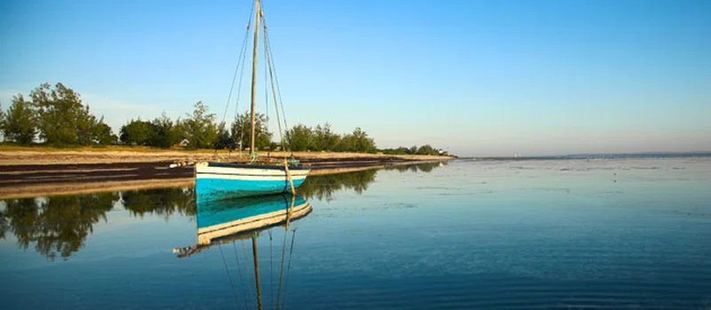
Inhaca Island (Ilha da Inhaca in Portuguese) is a subtropical island of Mozambique off the East African coast. The 52 km2 (20 sq mi) island separates Maputo Bay (Baía de Maputo) to the west from the Indian Ocean off its eastern shores. The island's irregular coastline approaches mainland Machangulo Peninsula at Ponta Torres where a 500-metre-wide (1,600 ft) tidal race separates the two headlands. In administrative terms Inhaca is a municipal district of the municipality of Maputo, while the Machangulo peninsula is included under the Lubombo Transfrontier Conservation Area and is part of the district of Matutuíne, Maputo Province. == Geographical features == The island's dimensions are approximately 12 km (n-s) by 7 km (e-w). The highest point above sea level is the 104-metre (341 ft) Mount Inhaca on the north-eastern shoreline. The south-western peninsula is known as Ponta Punduine while Ponta Torres to the south-east approaches the mainland. Two inland swamps occur at the northerly airstrip and southern Nhaquene respectively. Besides Inhaca settlement on the western shore there are five smaller villages including Inguane, Nhaquene, Ridjeni and Tobia. == History == Despite being a part of the Portuguese Colony of Mozambique until 1975, the island of Inhaca, so close to the harbour of Maputo, was occupied by the British from 1823 until the Mac Mahon Treaty of 24 July 1875. SOURCESWikipedia