
About
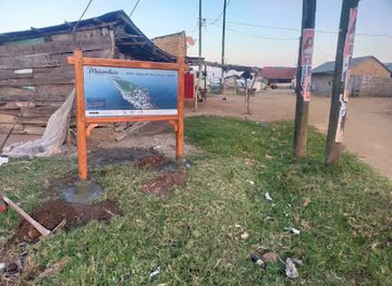
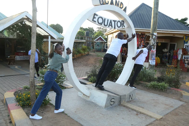
Masaka is a large town in the Central Region of Uganda, west of Lake Victoria. The headquarters of the Masaka District are in the town.Masaka town was largely destroyed in 1979 during the Uganda-Tanzania War and again in the 1981-1986 civil war that saw the overthrow of Milton Obote from power for the second and last time. == Location == Masaka is approximately 140 kilometres (87 mi) to the south-west of Kampala on the highway to Mbarara. The town is close to the Equator. The coordinates of the town are 0°20'28.0"S, 31°44'10.0"E (Latitude:-0.341111; Longitude:31.736111). == Population == According to the 2002 national census, the population of Masaka was about 67,800. In 2010, the Uganda Bureau of Statistics (UBOS) estimated the population at 73,300. In 2011, UBOS estimated the mid-year population at 74,100. In August 2014, the national population census put the population at 103,829. == Economic activities == Most people are farmers. SOURCESWikipedia