About
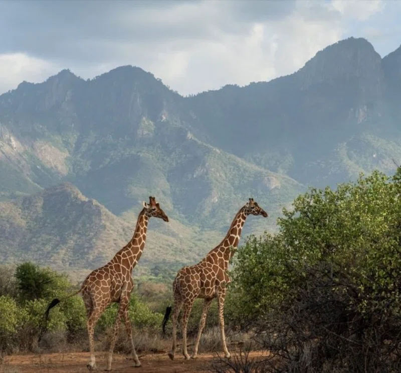
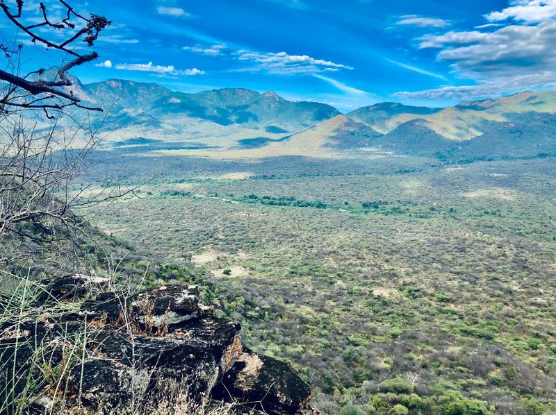
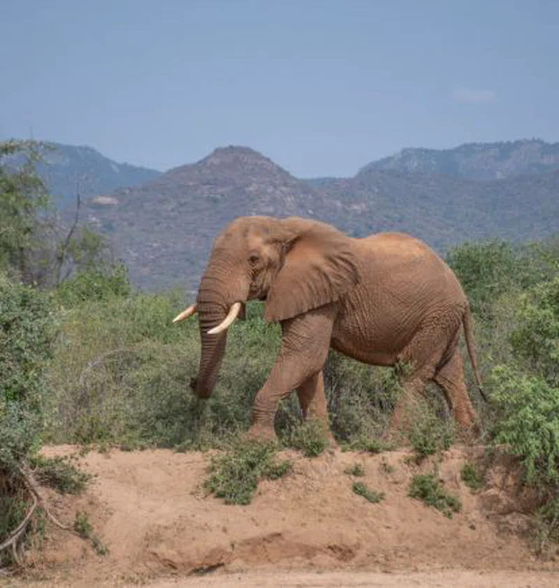
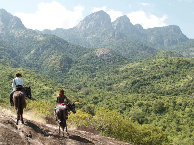
The Matthews (or Mathews) Range, also known as the Lenkiyio Hills, is a range of mountains in Kenya, Africa. == Geography == The range is about 150 km long, oriented north-south. It is located in the Laikipia district of the Rift Valley Province in northern Kenya. The town of Wamba lies at the southeastern edge of the range. === Peaks === The highest point is Warges, at 2688 m above sea level, a peak located the southern end of the range, separated by a valley from the rest of the range. The 1,809 metres high Ldoinyo Lenkiyo, 1,860 m high Mathews Peak, 1,491 m high Ilpisyon, 1,184 m high Lolgek, 1,472 m high Lomolok, 1,861 m high Tipito and 1,289 m high Ilmara Muroi are located in the middle of the range. There is also a breast-shaped hill locally known as Sweet Sixteen in the range. Oldoinyo Sabachi, 1,963 m Lekat, 1,625 m Namanyaraboo, 1,216 m == Ecology == The area is isolated, and holds forests of juniper and cycads. It is home to elephants and other large mammals, and was one of the last places in northern Kenya to have wild Black Rhinos. The last Black Rhino in the Mathew's was poached out in the 1990s. SOURCESWikipedia