About
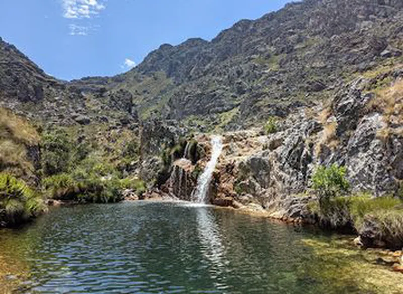
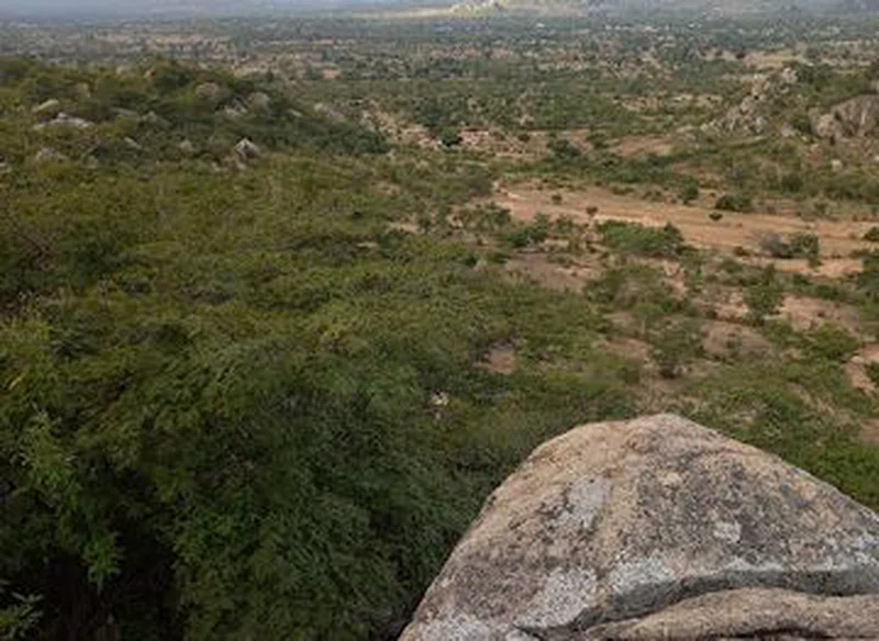
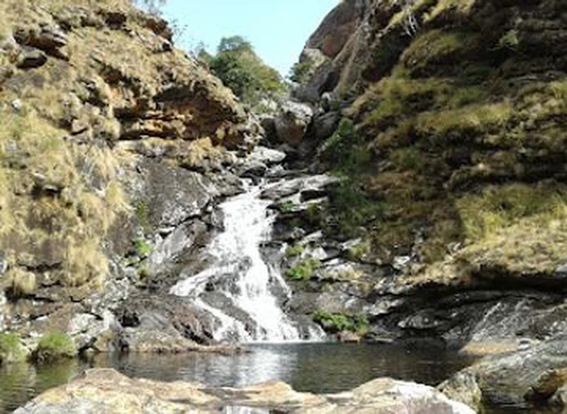
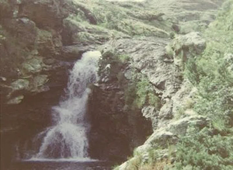
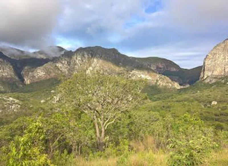
Chimanimani District (part of which was known as Melsetter 1895–1982) is a mountainous area in the province of Manicaland, eastern Zimbabwe. The region is distinguished by large peaks, carved from a rifted quartzite block, the highest reaching to 2,440 m (8,005 ft) and stretching for some 50 km (31 mi), forming the border with Mozambique. Between the village of Chimanimani and the border the ranges are gentler and more rounded. The national park is in the southernmost area of the Eastern Highlands, and is 150 km (93 mi) from the town Mutare (known as Umtali until 1982). == Chimanimani mountains == Much of the range is composed of quartzite ridges, with Monte Binga at 2,436m the highest point in Mozambique, right after the border. Chimanimani is one of Zimbabwe's finest mountain wilderness areas and a very popular hiking destination. Close to the town are the scenic Bridal Veil Falls. Nearby is Chirinda Forest, Africa’s southernmost tropical rainforest, harbouring strelitzias, wild orchids, tree ferns, cycads and rare trees. The forest is also home to the 1,000-year-old Big Tree, a Red mahogany (Khaya anthotheca) nearly 70 m high and 16 m around; it is also the habitat for a near-endemic rare frog, the Inyanga river frog (Amietia inyangae). There is an arboretum near the village. SOURCESWikipedia
Wildlife & Birds
Miombo Rock Thrush
3
Rufous-bellied Tit
3
Southern Hyliota
3
Orange-winged Pytilia
3
Green-backed Honeybird
3
Striped Pipit
3
Safari Tours
15-Day Zimbabwe & Zambia Ancient Pathways