About
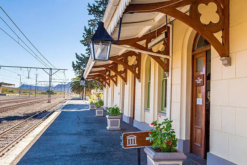
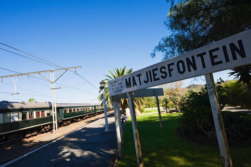
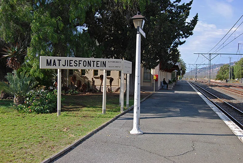
Matjiesfontein is a settlement in Central Karoo District Municipality in the Western Cape province of South Africa. == History == The original inhabitants of the region were the Khoikhoi herders and the San hunter gatherers. Following the arrival of the early European colonists, the area was settled by Afrikaaner Trekboers and Griqua people. === Railway origins === The town itself owes its existence to the Cape Government Railways, and to the route that their founder, Cape Prime Minister John Molteno, chose for a railway line that would connect Cape Town's port to the diamond fields of Kimberley. The Royal Commonwealth Society (1898) records that in a meeting with his consulting engineers, the Prime Minister called for a map of Southern Africa to be brought to him and, taking a ruler, drew his pen along it from Cape Town all the way inland. He then handed the map to the engineers, telling them to build the railway accordingly. The line rapidly extended inland, and a station was built on 1 February 1878, that was named "Matjiesfontein". The name was derived from a type of sedge, Cyperus textilis, used by Khoekhoen to make mats (matjies) employed in the construction of their huts. === Logans refreshment station === Originally, Matjiesfontein was only a small depot and farm, however a Scotsman by the name of James Douglas Logan, who was superintendent of this stretch of railway, bought land at Matjiesfontein, moved there because of his weak chest, and opened a refreshment station for the passing trains. This was so successful that the business soon formed the nucleus of a growing village. SOURCESWikipedia