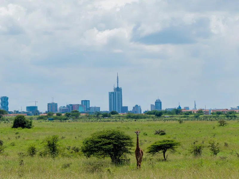
About
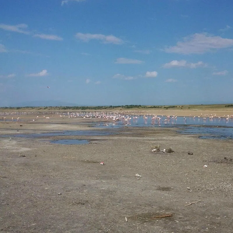
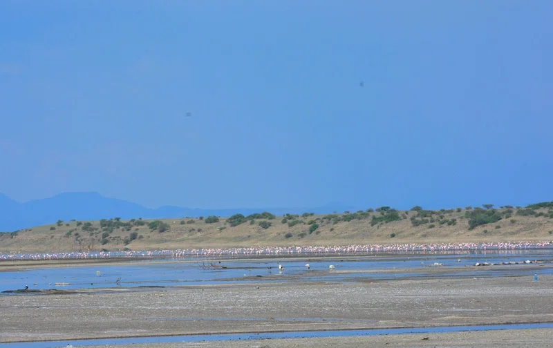
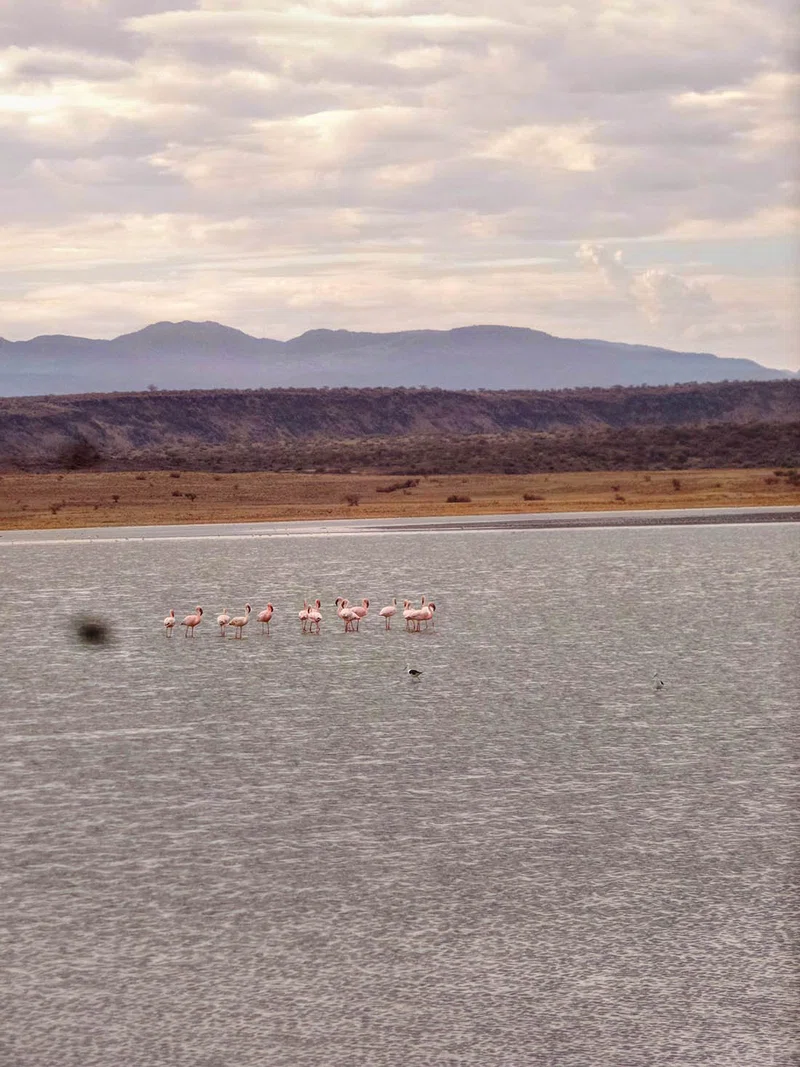
Lake Magadi is the southernmost lake in the Kenyan Rift Valley, lying in a catchment of faulted volcanic rocks, north of Tanzania's Lake Natron. During the dry season, it is 80% covered by soda and is well known for its wading birds, including flamingos. Lake Magadi is a saline, alkaline lake, approximately 100 square kilometers in size, that lies in an endorheic basin formed by a graben. The lake is an example of a "saline pan". The lake water, which is a dense sodium carbonate brine, precipitates vast quantities of the mineral trona (sodium sesquicarbonate). In places, the salt is up to 40 m thick. The lake is recharged mainly by saline hot springs (temperatures up to 86 °C) that discharge into alkaline "lagoons" around the lake margins, there being little surface runoff in this arid region. Most hot springs lie along the northwestern and southern shorelines of the lake. During the rainy season, a thin (less than 1 m) layer of brine covers much of the saline pan, but this evaporates rapidly leaving a vast expanse of white salt that cracks to produce large polygons. A single species of fish, a cichlid Alcolapia grahami, inhabits the hot, highly alkaline waters of this lake basin and is commonly seen in some of the hot spring pools around the shoreline, where the water temperature is less than 45 °C. Lake Magadi was not always so saline. SOURCESWikipedia