About
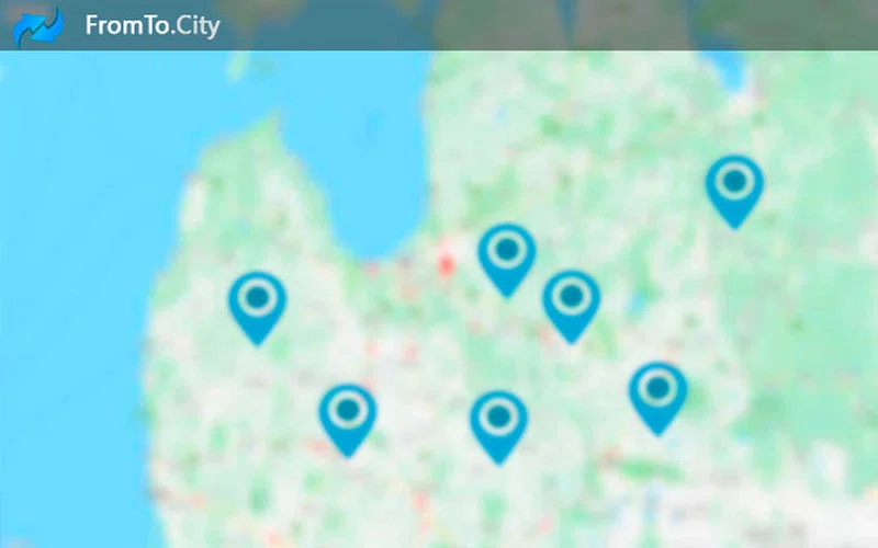
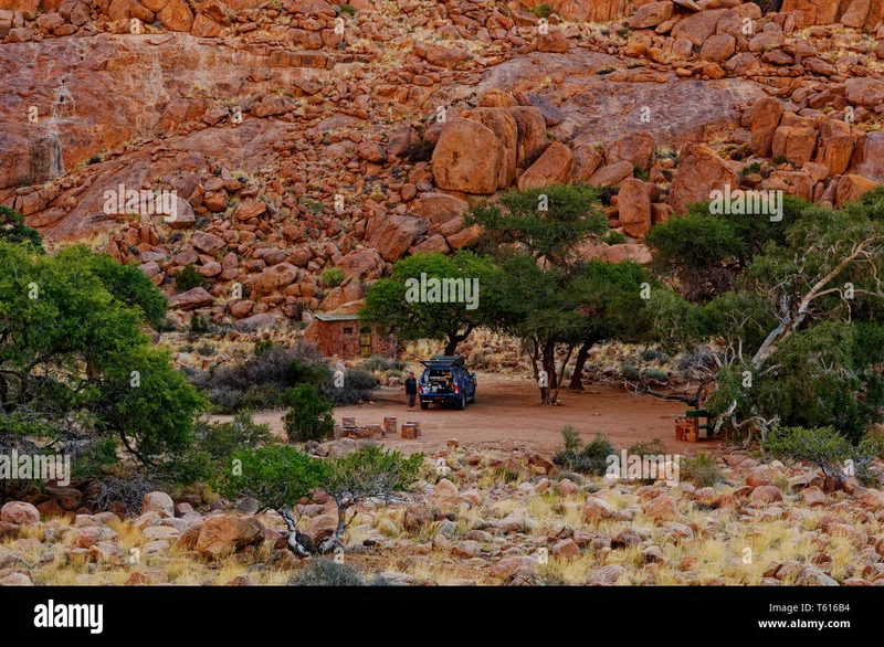
The ǁKaras Region, also spelled !Karas Region, is the southernmost and least densely populated of the 14 regions of Namibia; its capital is Keetmanshoop. The name assigned to the region reflects the prominence of the Karas mountain range in its southern part. The ǁKaras region includes the magisterial districts of Keetmanshoop, Karasburg, Bethanie, and Lüderitz. The name of this region was Karas Region (without the alveolar lateral click of the Khoekhoegowab language) since Namibian independence in 1990. In an effort to consolidate spelling, it was renamed to ǁKaras Region in August 2013.ǁKaras' western border is the shores of the Atlantic Ocean. Its location in Namibia's south means that it shares a long border in the south and east with the Northern Cape Province of South Africa. Domestically, it borders only the Hardap Region, to the north. == Politics == ǁKaras is subdivided into seven electoral constituencies: Berseba Karasburg East Keetmanshoop Rural Keetmanshoop Urban ǃNamiǂNûs (formerly Lüderitz Constituency) Oranjemund Karasburg WestThe Governor of ǁKaras Region is Lucia Basson, succeeding Bernadus Clinton Swartbooi in 2015. In the 2004 presidential election, the region supported SWAPO's Hifikepunye Pohamba with 65% of the votes. No other candidate received more than 10%. SOURCESWikipedia