About
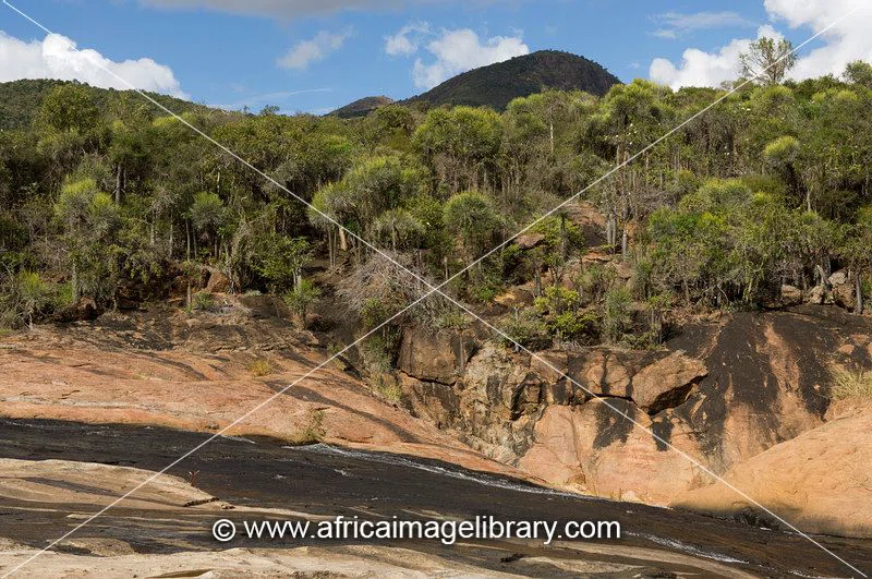
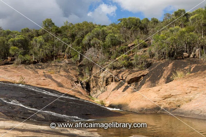
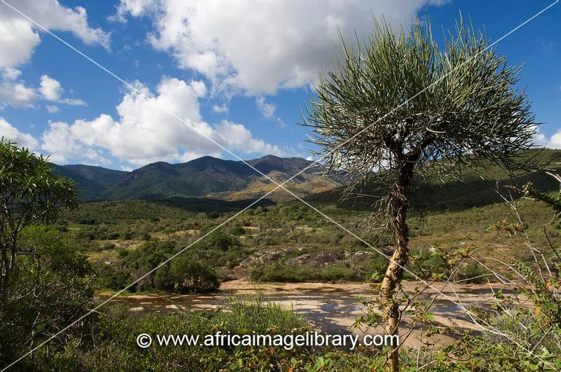
Andohahela National Park, in south-east Madagascar, is remarkable for the extremes of habitats that are represented within it. The park covers 760 km2 (293 sq mi) of the Anosy mountain range, the southernmost spur of the Malagasy Highlands and contains the last humid rainforests in the southern part of Madagascar. The Park was inscribed in the World Heritage Site in 2007 as part of the Rainforests of the Atsinanana. == History == Andohahela has been a protected area since 1939 but did not become a national park until 1998. == Geography == Andohahela National Park is 40 kilometres (25 mi) north-west of Tôlanaro and at the southern end of the Malagasy Highlands. The park is divided into three zones. The first, Malio ranges from 100 metres (330 ft) to the summit of Pic d' Andohahela at 1,956 metres (6,417 ft), and has dense rainforest with more than two hundred species of tree ferns, orchids, wild vanilla, lemurs and many birds. The second Ihazofotsy-Mangatsiaka contains dry spiny forest with rare birds and reptiles in altitudes ranging from 100 metres (330 ft) to 1,005 metres (3,297 ft) at the summit of Pic de Vohidagoro. The third zone,Tsimelahy is mainly at an altitude of 125 metres (410 ft), contains the unique Ranopiso transitional forest, and is the only place where the three-cornered palm (Dypsis decaryi) occurs naturally. The mountains form a natural barrier to the moist trade winds that blow from the east, causing a rainfall of 1,500–2,000 millimetres (59–79 in) per year on the eastern side that supports one of the few rainforests south of the Tropic of Capricorn. SOURCESWikipedia