About
Wakiso District is a district in the Central Region of Uganda that partly encircles Kampala, Uganda's capital city. The town of Wakiso is the site of the district headquarters. Kira, the country's second largest city and suburb of Kampala, is in the district. == Location == Wakiso District lies in the Central Region of the country, bordering with Nakaseke District and Luweero District to the north, Mukono District to the east, Kalangala District in Lake Victoria to the south, Mpigi District to the southwest and Mityana District to the northwest. Wakiso, where the district headquarters are located, lies approximately 20 kilometres (12 mi), by road, northwest of Kampala, the capital of Uganda and the largest city in the country. The coordinates of the district are:00 24N, 32 29E. == Demographics == In 1991, the national population census estimated the district population at about 562,900. According to the 2002 national census figures, Wakiso District had a population of approximately 957,300, making it the second-most populated district in the country. At that time, 53 percent of the population were children below the age of 18 years and 17 percent of the population were orphans. The district is rapidly becoming urbanized, with the main economic activities changing from agriculture to trade and industry. == Administrative units == Wakiso District is made up of two counties and a municipality: Kyaddondo County, Busiro County, and Entebbe Municipality. SOURCESWikipedia
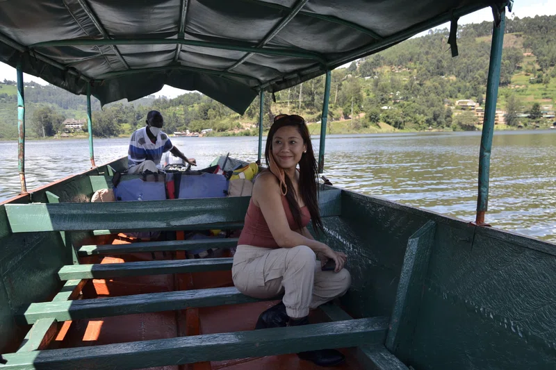
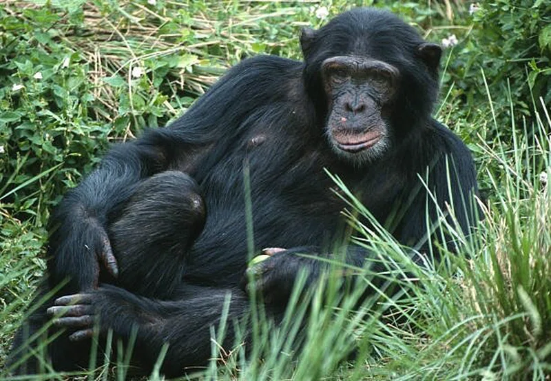
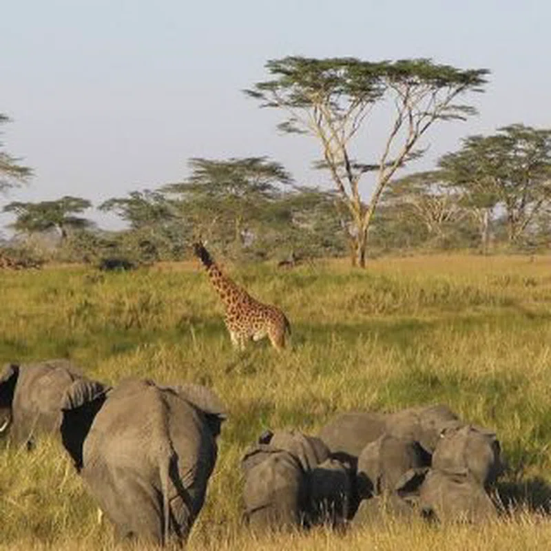
Safari Tours
African Big Five and Chimpanzee Tracking Safari