
About
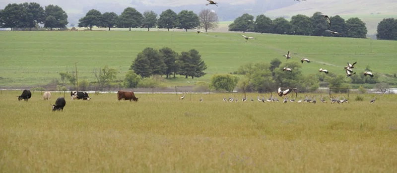
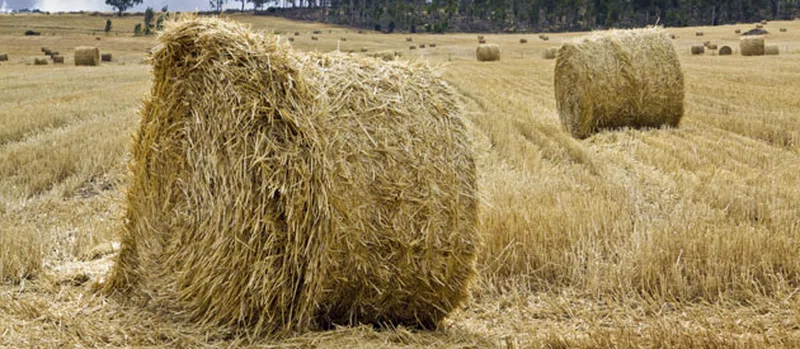
Vryburg (Afrikaans for free borough) is a large agricultural town with a population of 48,200 situated in the Dr Ruth Segomotsi Mompati District Municipality of the North West Province of South Africa. It is the seat and the industrial and agricultural heartland of the district of the Bophirima region. == Location == The town is situated halfway between Kimberley (the capital of the Northern Cape Province) and Mahikeng (the capital of the North West Province). Vryburg is on Cecil Rhodes’s great northern railroad, which ran from Cape Town through the Kimberley diamond fields, Vryburg, Mafikeng, and northwards beyond Victoria Falls. It is also on the N14 National Road which runs from Gauteng Province in a southwesterly direction through Vryburg, Kuruman and Upington to the mining town of Springbok in the North-western Cape. This road also connects Gauteng Province with Namibia. The township of Huhudi (Tswana for "running water") is situated just south of the town. == History == === Capital of a Republic === The name Vryburg comes from the period in the 1882 when Vryburg was established as the capital of the Republic of Stellaland. The Republicans called themselves Vryburgers ("free citizens"), and since the Afrikaans word for "citizen" is "burger" and the word for "borough" is "burg" the name of the town followed. The first and only president was G.J. van Niekerk. SOURCESWikipedia